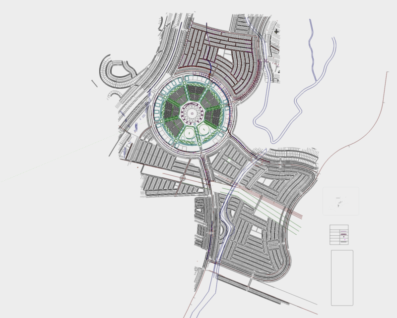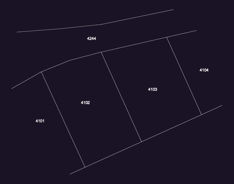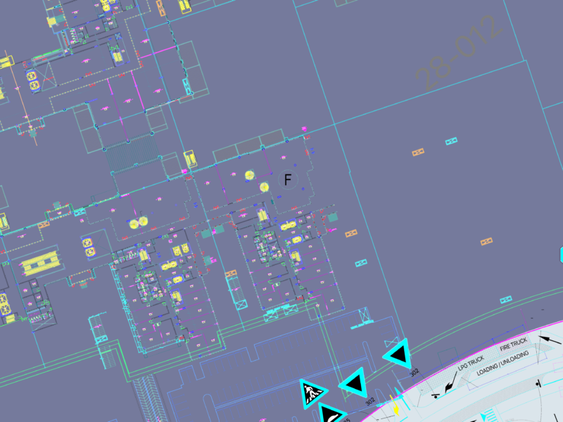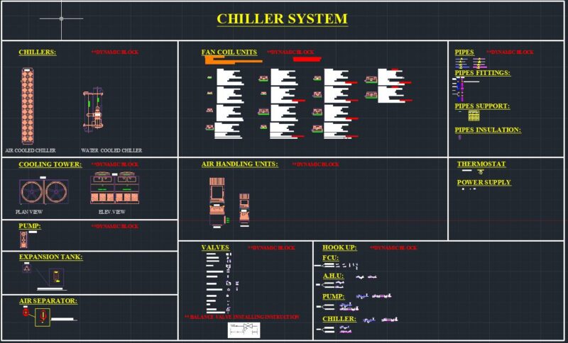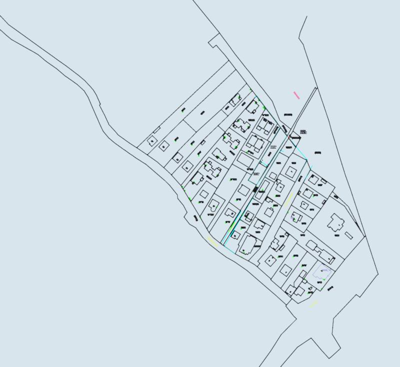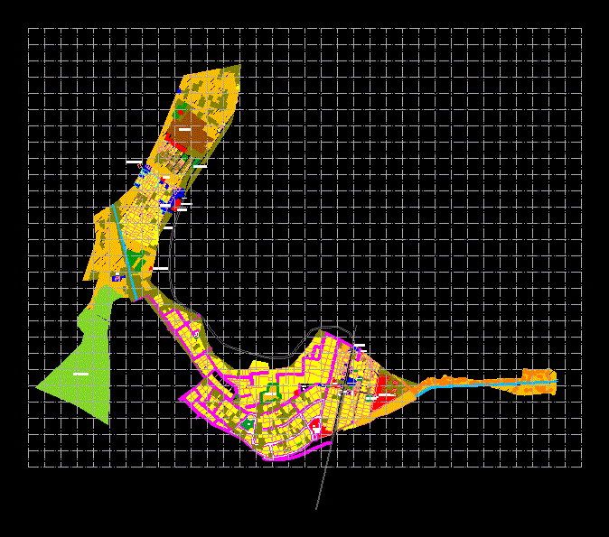
Base map – Detailed used for purposes of urban planning. The base map is prepared here Kharagpur; India .
Drawing labels, details, and other text information extracted from the CAD file:
electrical pole, inch diameter pipe, canal, metal road, concrete road, kutcha murrum road, plot boundaries, agricultural area, open spaces, drainage, electrical pole, garbage vat, main garbage vat, solid waste thrown in open space, water supply, maitree bhavan, jagannath temple, dvc subgrid, children’s park, auto stand, airport office, ncc office, dvc market, durga temple, red cross office, club, santhal basti, private clinic, hijli market complex, marshy land, cpm office, private clinic, pre nursery school, bus stop, temple, playground, hijli rural hospital, hospital, irrigation office, temple, agricultural area, canal, contours, metal road, concrete road, kutcha murrum road, plot boundaries, agricultural area, open spaces, telecom tower, legends