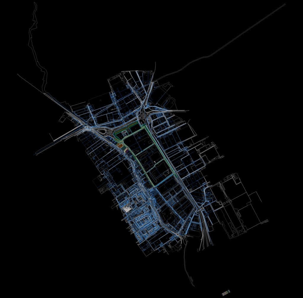
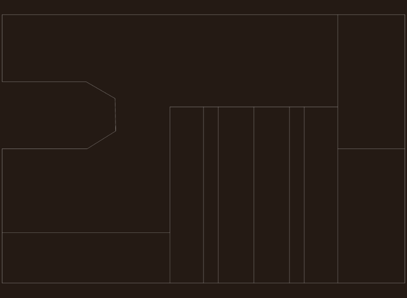
Land parcel map and detailed topographic layout for the Maasdijk area. Includes existing and new cadastral boundaries with area measurements in m², building footprints, and street names. Infrastructure details covered: gas lines, drainage pits, water mains, and road furniture (signs, bus stops, etc). – Cadastral data incl. lot numbers & sizes – Topography: roads, water, greenery – Full set of utility symbols (Sweco standard)
Cadastral Map and Land Development Plan for Maasdijk Area