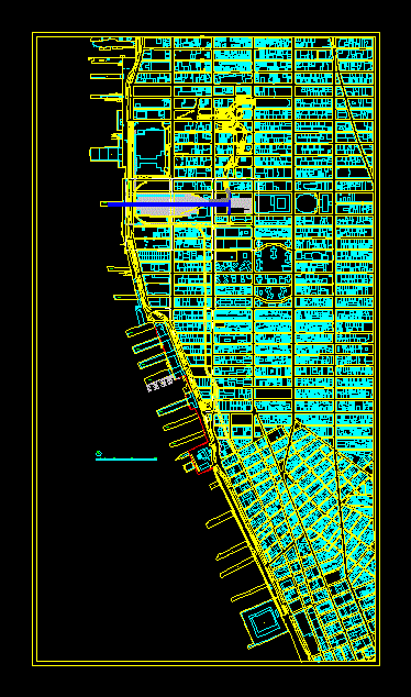
Topographic map of Prague city center incl. contour lines, street layouts, & Vltava river geometry. Building footprints and Czech street names included on separate layers, etc.
Prague Topography and City Layout CAD Plan
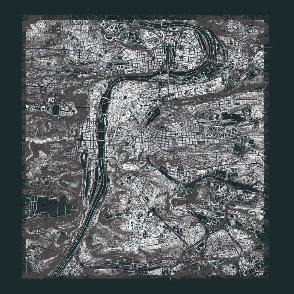
Topographic map of Prague city center incl. contour lines, street layouts, & Vltava river geometry. Building footprints and Czech street names included on separate layers, etc.