NORTH PUEBLA STATE, MEXICO.
Drawing labels, details, and other text information extracted from the CAD file (Translated from Spanish):
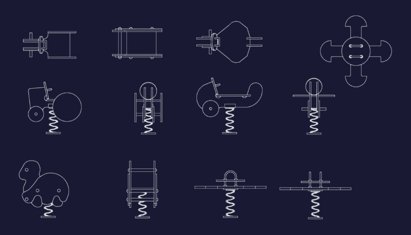
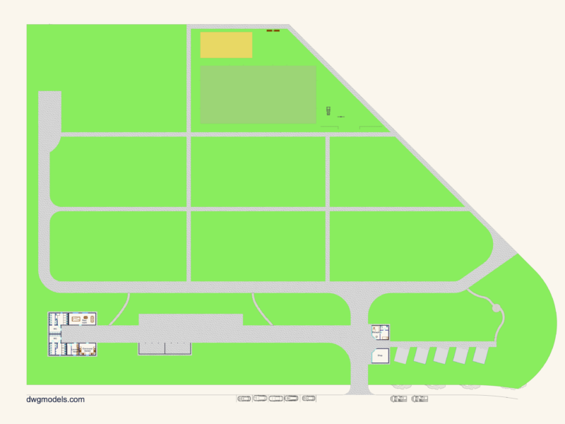
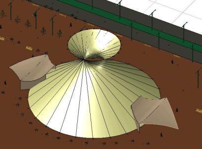
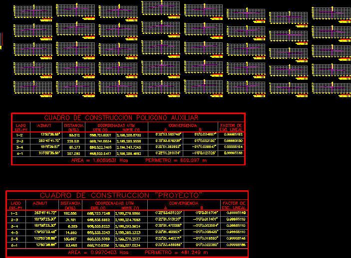
location, symbology, landscape architecture, north, architectural project, graphic scale, file, date of last update, plan, key, dimension, ax.x, references of extensions, references of cuts, npt-x.xx, references of levels in floor, references of levels in elevations, master plan, set, distribution room, restaurant, restrooms, administration, access, service access, gazebo, plaza, green market, dressing rooms, open air theater, classrooms, media room, demonstrative center of sustainable consumption, showers, square, green square, dry toilets, areas, area name, total built surface, land occupation surface, built surface of each level, first level, second level, third level, bn, est. , auxiliary polygon construction box, side, azimuth, distance, utm coordinates, factor, esc. linear, convergence, est-pv, construction chart, c o o r d e n d a s, heading, est, axis, profile axis y, profile x axis