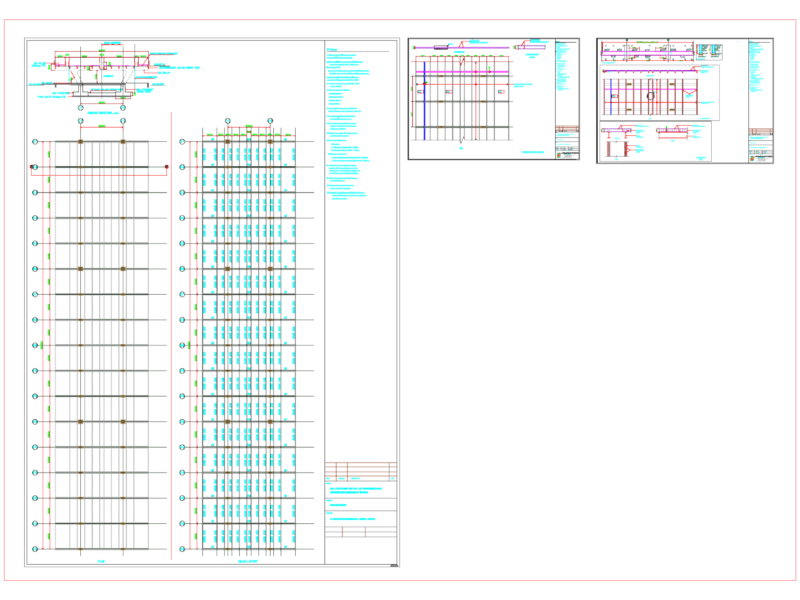
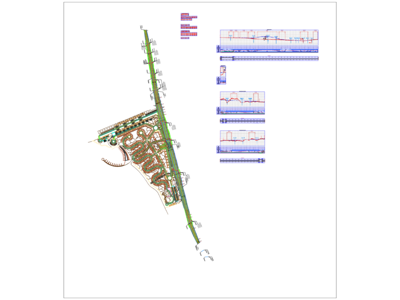
Detailed Hydraulic Structure Plan for Song Dinh River
This technical drawing presents a comprehensive downstream embankment dam design with corresponding elevation profiles for the Song Dinh River. The plan details both existing terrain conditions and proposed design modifications with precise elevation markers throughout the structure.
Key Technical Features:
– Existing ground elevations range from approximately 1.83m to 5.30m above mean sea level
– Proposed embankment with carefully calculated slopes and grade transitions
– Longitudinal profile showing gradual elevation changes with slopes ranging from 0.10% to 1.59%
– Circular drainage culvert (Ø0.5m) with bottom elevation at 1.84m
– Concrete reinforced sections (noted as “Đan BT” in the drawing)
The design incorporates several critical hydraulic elements, including flood control measures, erosion protection, and terrain integration. Notable segments include:
1. Main dam section spanning approximately 338.74m with 0.10% grade
2. Secondary embankment section of 280.47m with 0.29% grade
3. Transition zone of 109.21m with 0.15% grade
4. Terminal section of 96.77m with steeper 1.59% grade
The drawing also indicates surrounding contextual elements such as rice fields (Ruộng lúa), coconut plantations (Vườn dừa), dirt roads (Đường đất), and the connecting Nguyễn Thái Bình Road. This comprehensive plan serves as the primary engineering document for construction implementation, providing precise elevations and dimensions for proper hydraulic performance and flood management.