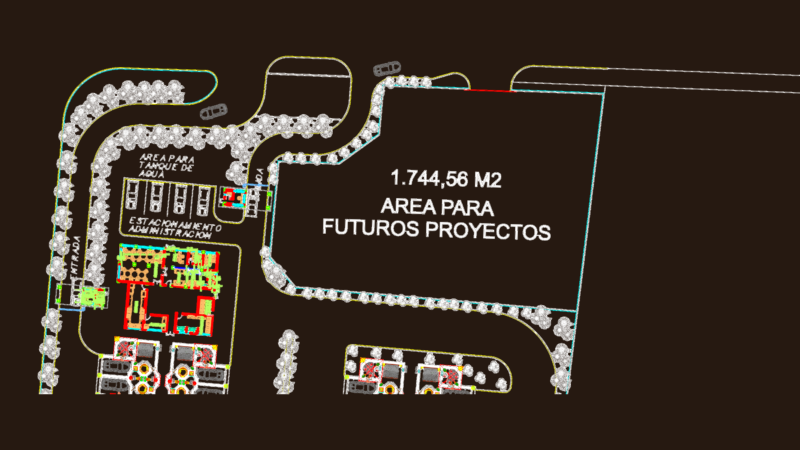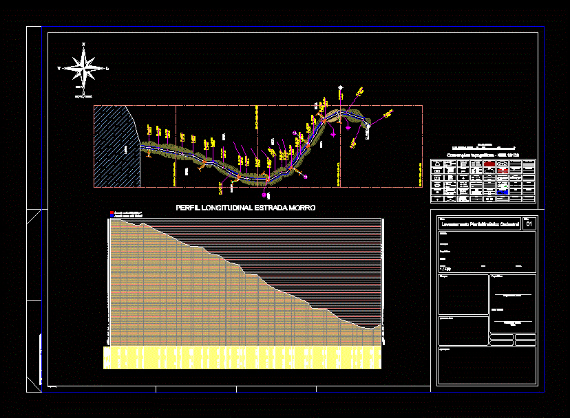
Drawing plant – elevation 2d
Drawing labels, details, and other text information extracted from the CAD file (Translated from Portuguese):
longitudinal profile road hill terrain stakes basement base top elevation station indefinite alignment construction masonry construction wood slab or roof top high voltage tower isolated tree geodesic vertices topographic rn official rn , topographic vertices, non-materialized point, quoted point, telephone, polling point, signaling plates, inspection box, manhole, ladder, ditch, bridge, slope, wall, retaining wall, flooded, curves of level, flooded with vegetation, channel, paved road, path, guide, shaft, recessed guide, railway, fence or fence, mixed fence, wire fence, wooden fence or siding, hedge, sand, mail, in. auxiliary, pol. secondary, in. main, landmark, pin, picket, waterfall, plane coordinates utm system, origin of coordinates :, and mc, geodesic coordinates of the point :, ellipsoid :, coordinate system, title :, sheet :, objective :, municipality: , owners :, scale :, property :, matricula :, date :, state :, planialtimétrico cadastral survey, studies and projects, property owner, registration, technical responsible, crea, municipal, municipality, property, cane, this drawing was elaborated using an original version of the professional system for calculations, drawings and, resp. Technical :, Situation :, Frame of areas :, Approvals :, Graphic scale :, Forest, Pond