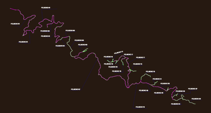
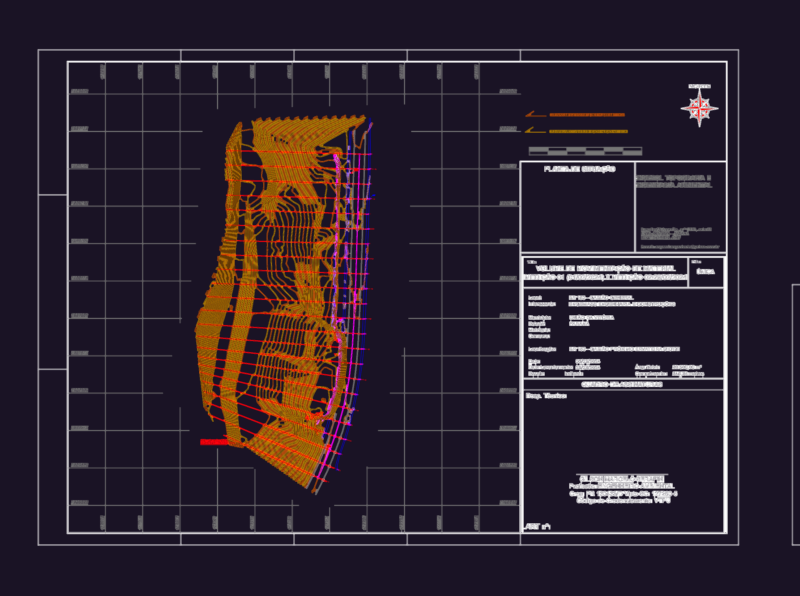
Comprehensive flood defense plan for Puerto Reconquista with an area of approximately 360,000 m². This drawing illustrates a multi-component flood protection system along the San Jerónimo and San Javier rivers and Curupí and Del Rey creeks.
Key components include:
– Reinforced concrete containment walls at critical sections
– Cohesive soil embankments with slopes of 1:1.25
– Hydraulic fill embankments at specified locations
– Multiple discharge points with pump stations at progresives 380, 950, 1700, and 2160
– Access roads along National Route A009 with shoulder heightening
Technical Specifications:
– Project extends approximately 3,370 linear meters
– Cross-sectional profiles at 50m intervals showing embankment configurations
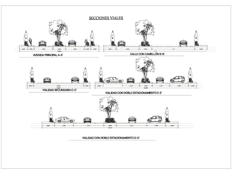
– Promenade width: 9.00m with protective barriers of 1.50m
– Typical embankment height: 6.40-7.10m above natural terrain
– Cross-section area: 15.70 m²
The plan integrates with existing infrastructure including the Municipal Nautical Club and Port Complex while accounting for natural waterway boundaries and terrain elevations.