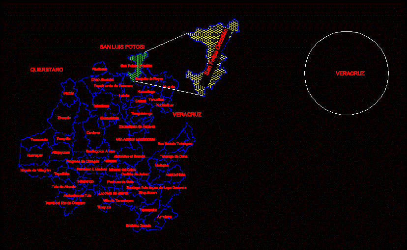
MAP WITH TOWNS IN STATE OF HIDALGO MEXICO
Drawing labels, details, and other text information extracted from the CAD file (Translated from Galician):
omitlán de juárez, san felipe orizatlán, pacula, pachuca de soto, pisaflores, obregón progress, san bartolo tutotepec, santiago de anaya, santiago tulantepec de lugo guerrero, singuilucan, tasquillo, tecozautla, tenango doria, tepeapulco, tepehuacán de guerrero, tepeji of the ocampo river, tepetitlan, tetepango, tezontepec villa, tianguistengo, tizayuca, tlahuiltepa, tula from beyond, xochiatipan, yahualica, zacualtipán de ángeles, Zapotec of Juarez, zimapán, metepec, nopala villagrán, emiliano zapata, tole atotonilco, calnali, cardonal, chapulhuacán, eloxochitlán, francisco i. timber, huautla, huazalingo, huejutla de reyes, huichapan, lolotla, san agustín metzquititlán, boy’s mineral, acaxochitlán, actopan, alfajayucan, almoloya, I feel the big one, veracruz, san luis potosi, queretaro, san felipe orizatlán, state of hidalgo, veracruz