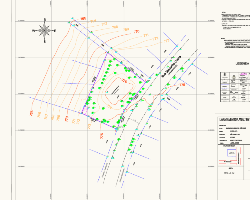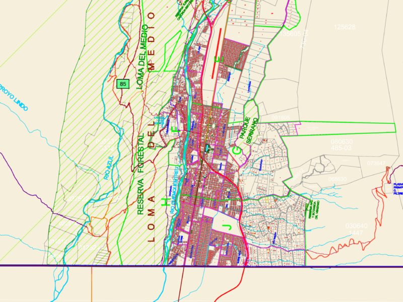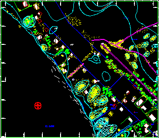
Map of San Carlos island – Zulia state in Venezuela
Drawing labels, details, and other text information extracted from the CAD file (Translated from Spanish):
type of construction, built, ranch house, in construction, I raise:, drawing:, approved, calculation:, s.c., jairo warrior, ernesto rojas g., c.i.v., revised:, antonio ojeda h., date:, November, c.i.v., the low average sea, scale, reference source, vertical data: strength point, horizontal data: i.n.c., hydrographic data: approximate level of, aux., mts, symbology, dirt road, main traverse vertex, lamppost, medanos, under the beach, intermittent current, permanent pond, vegetation grapes t-shirts, mangroves, coconut trees, Powerline, cuji, quota, rev., modified area, rev., by, approve, by, dib., by, made, important, this drawing is property of, should be, returned as soon as it is, Dear, can only be used, for the purpose that has been, delivered, its content is strictly, confidentiality should not be, copying shown published, revealed nobody without the, writing of bodyzulia, replaces, review:, replaced by, draft:, drawing, revised, approve, first name:, firm:, date:, Format, file not, scale, review, planialtimetric survey, san carlos island, lamina no., plan no., digital maps, elaborated by, autoplott c.a., n .:, and.:, the pipe, aqueduct pipe, tank, high, tank, Underground, average squelch, low mean sea, water intake, taking of, Water, future sewer network, tank, taking of, Water, dock n., dock, the canaguatera, the little potato, n .:, and.:, dune zone, average squelch, dune zone, dune zone, tank, low mean sea, n .:, and.:, and.:, n .:, and.:, the pipe, aqueduct pipe, tank, high, tank, Underground, average squelch, low mean sea, water intake, taking of, Water, future sewer network, n .:, and.: