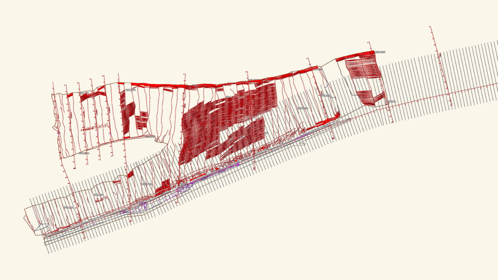
Riverbed survey of the Aare at Kraftwerk Aarau featuring bathymetirc data and detailed cross-sections (Querprofile 3-8, incl. variants 8-1 to 8-4). Records include concession boundary levels (383.80m) and tailrace water levels (UWKW) recorded at 363.86m ü. M. Scales 1:200 and 1:750 for civil engineering and hydraulic analysis.
Kraftwerk Aarau Riverbed Survey and Aare Cross-Sections