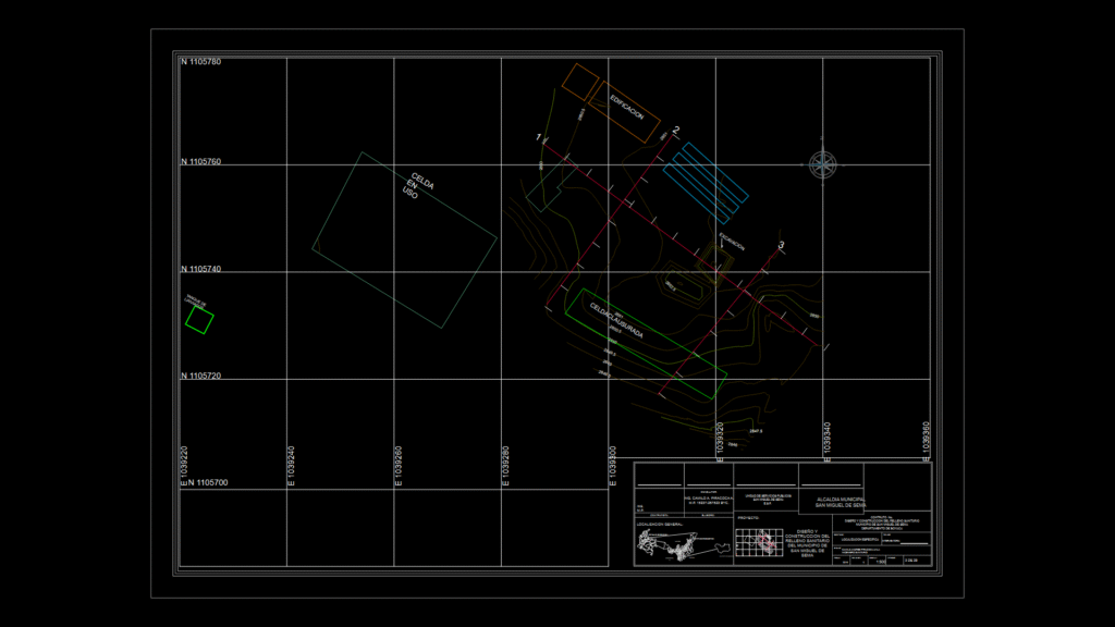
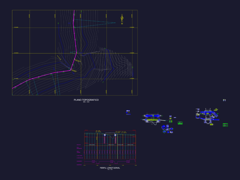
Specific location plan for a sanitary landfill project in San Miguel de Sema, Boyacá Department, Colombia. This drawing depicts the topographic survey at 1:500 scale showing the proposed landfill cells, access roads, and site boundaries. Elevation contours range from 2846m to 2852.5m above sea level, with UTM coordinates grid system (N 1105700-1105780, E 1039220-1039360). The plan identifies distinct operational areas including a cell for general waste (‘CELDA USO’) and a saturated cell (‘CELDA SATURADA’). The document is sheet 3 of 29 from the complete landfill design set, prepared for the Public Services Unit of San Miguel de Sema. Topographic features and existing site elements are clearly delineated with different layer styles, providing essential spatial reference for construction and regulatory compliance.
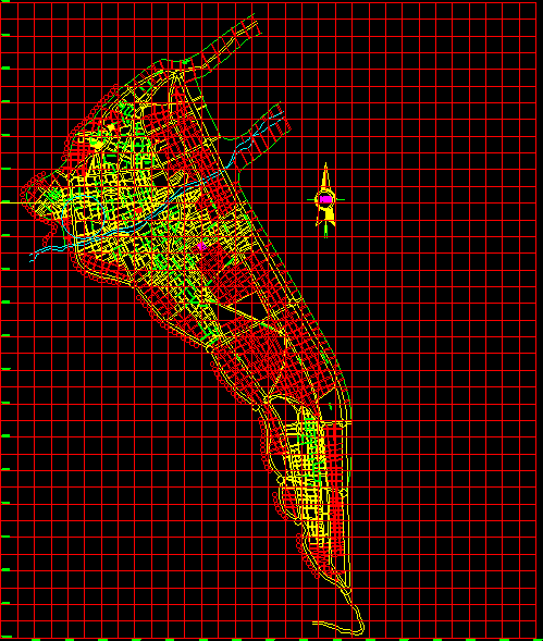
Landfill Site Plan for San Miguel de Sema Municipality, colombia