ADVERTISEMENT

ADVERTISEMENT
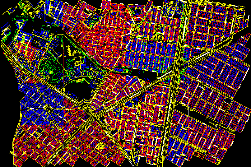
Map, Bogota, Columbia–10 Blocks Around The Military School DWG Plan for AutoCAD
DETAILED PLAN Of TEN BLOCKS SURROUNDING OF THE MILITARY SCHOOL IN BOGOTA – COLOMBIA .
Drawing labels, details, and other text information extracted from the CAD file (Translated from Spanish):
avenue up, transversal, avenue espana, avenue medellin, avenue ciudad de quito, chile avenue, pedestrian, avenida general santander, the country
Raw text data extracted from CAD file:
| Language | Spanish |
| Drawing Type | Plan |
| Category | City Plans |
| Additional Screenshots |
 |
| File Type | dwg |
| Materials | Other |
| Measurement Units | Metric |
| Footprint Area | |
| Building Features | |
| Tags | autocad, beabsicht, blocks, bogota, borough level, colombia, columbia, detailed, DWG, map, military, plan, political map, politische landkarte, proposed urban, road design, school, stadtplanung, straßenplanung, surrounding, urban design, urban plan, zoning |
ADVERTISEMENT
