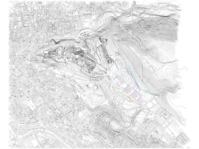
Showing unpaved road, upper and lower sections.
Drawing labels, details, and other text information extracted from the CAD file:
magnetic, datum elev, name, pbase, pvgrid, pegct, pfgct, pegc, pegl, pegr, pfgc, pgrid, pgridt, right, peglt, pegrt, pdgl, pdgr, xfg, xeg, xfgt, xegt, xgrid, xgridt, projectname, fill, cut, station, square meters, cubic meters, volumes, areas, cumulative volumes, municipalidad distrital de usquil, proyecto :, ubicacion :, alcalde :, responsable :, plano :, fecha :, cad :, lamina :, mache alto, sr. luis campos risco, topografico, jdms, ing. daniel mestanza sanchez, esc. :, graphic scale, eje – aa, left, leyenda, curva madre, curva secundaria, quebradas, eje de la via, viviendas, norte magnetico, norte, cota, este, trocha carrozable, oer, manzano alto, planta general