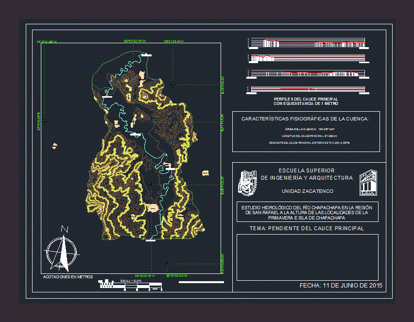
Plano river basin Chapachapa showing Taylors method to determine the average slope of the runway.
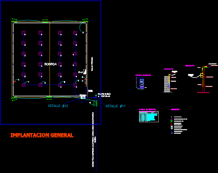
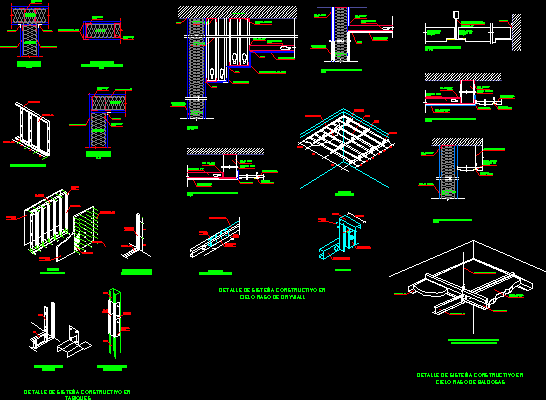
Drawing labels, details, and other text information extracted from the CAD file (Translated from Spanish):
palpoala ixcán, arroyo hondo, coapeche, spring, adalberto tejeda, island of chapachapa, la martinica, esia, zacatenco unit, theme: slope of the main channel, meters, kilometers, dimensions in meters, physiographic characteristics of the basin:, upper school , engineering and architecture, hydrological study of the Chapachapa river in the region, San Rafael at the height of the towns of the spring, and island of Chapachapa