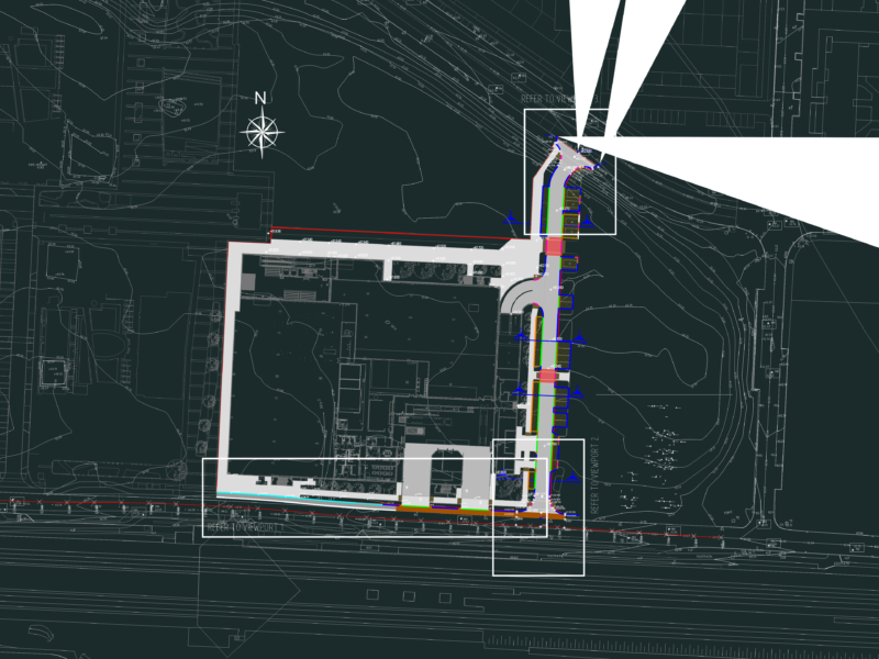
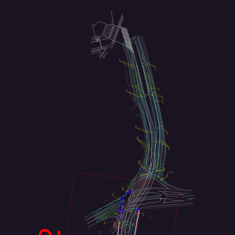
Plane expropiation a section of national route Nº51 ( Argentina) for broadening
Drawing labels, details, and other text information extracted from the CAD file (Translated from Spanish):
name, pbase, pvgrid, pegct, pfgct, pegc, pegl, pegr, pfgc, pgrid, pgridt, right, peglt, pegrt, pdgl, pdgr, axis, left, igma, igm, house, a sey, a santa. rosa de, las grandes, owner, scribe, the one that has been put in my presence and corresponds, ………………………. ………………………………………….. ……………………………, certify that the above signature is authentic of:, general direction. of real estate, visa of other organisms, graphic background:, sketch of location, sealed, san antonio de los cobres, locality :, owners:, cadastral nomenclature :, titles inscribed in :, the Andes, department :, jump, moderation for expropriation, plan of :, coord. g-k, i.g.m, points, length, curve data, radius, chord, angle, grad, min, sec