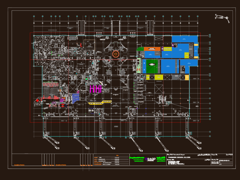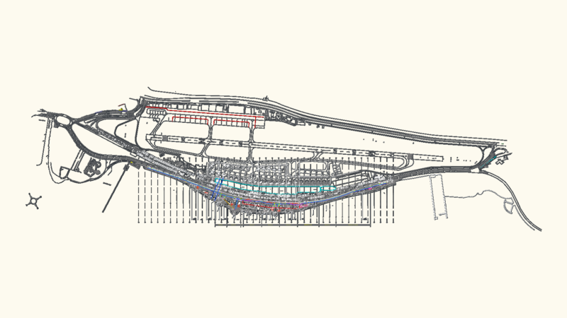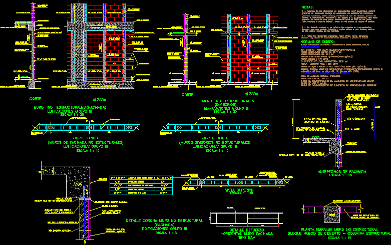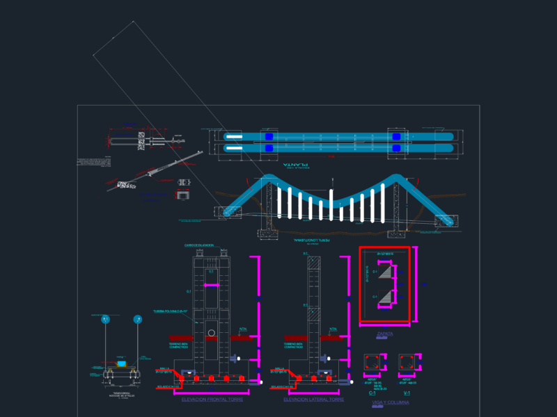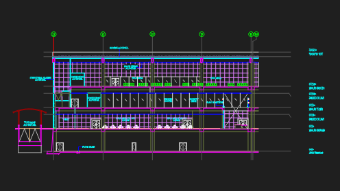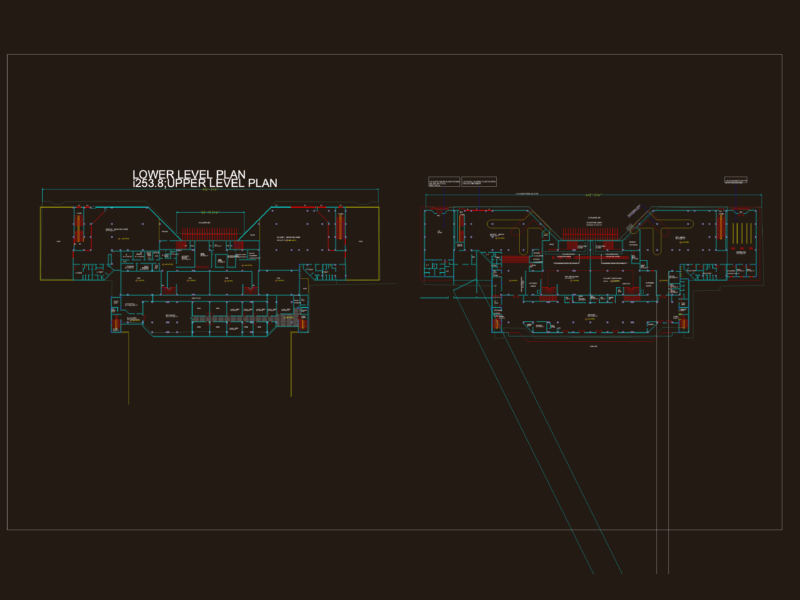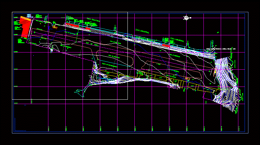
Surveying Paramillo airport San Cristobal edo Tachira
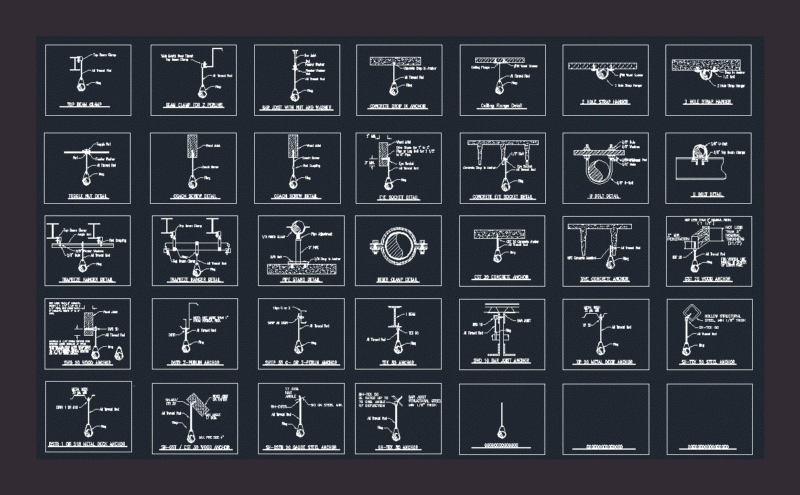
Drawing labels, details, and other text information extracted from the CAD file (Translated from Spanish):
iaadlet, autonomous consultancy institute for, the local development of the state táchira, government of tachira, street parallel to the airport, bve, failure, discharge, cerc, broc, edif, garden, office, hang, asf, pist, esq, cune, bonb, tanq, cres, post, aux, cunt, call, house, port, tube, floor, vien, ang, bord, fails, prof, via, wall, tore, anga, make, wall, abaj, post, house, tanq de hidro, wind, tower, island, sidewalk, torren, canal, cajon, fence, alley, edge, crest, ranch, sewer, watercourse, street f, street e, street d, street c, street a, street b, slope, entrance, torentera, industrial zone, street g, tube, pipe, control, parking ramp, taxiway, safety zone, track axis, gn, building, hangar, ditch, quebrada la machiri, de containment, and wall, torrent, uninhabited terrain, corposalud, street, perimeter fence, edge of track