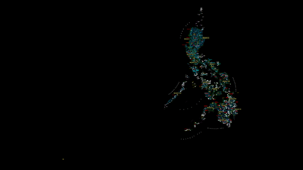
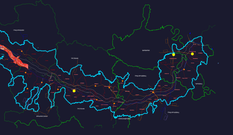
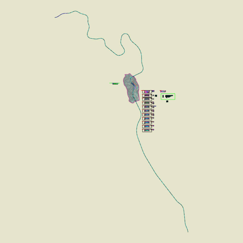
This site layout map depicts the Philippines with regional boundaries and urban centers for the San Antonio Flood Control Project in Tubay, Agusan del Norte. This drawing serves as a location reference map showing the project’s geographical context within Regional Office XIII (Caraga Region). The map features detailed provincial demarcations, major cities, waterways, and coastal outlines with labeled municipalities across the archipelago. The drawing is produced at metric scale with comprehensive topographical elements including elevation contours as indicated by the associated layer data. The flood mitigation project is administered by the Department of Public Works and Highways (DPWH) as evidenced by the department logo blocks and standard title block format. The drawing provides essential spatial context for infrastructure planning and helps situate the localized flood control measures within the broader national hydrological system.
Philippines map Layout for San Antonio Flood Control Project