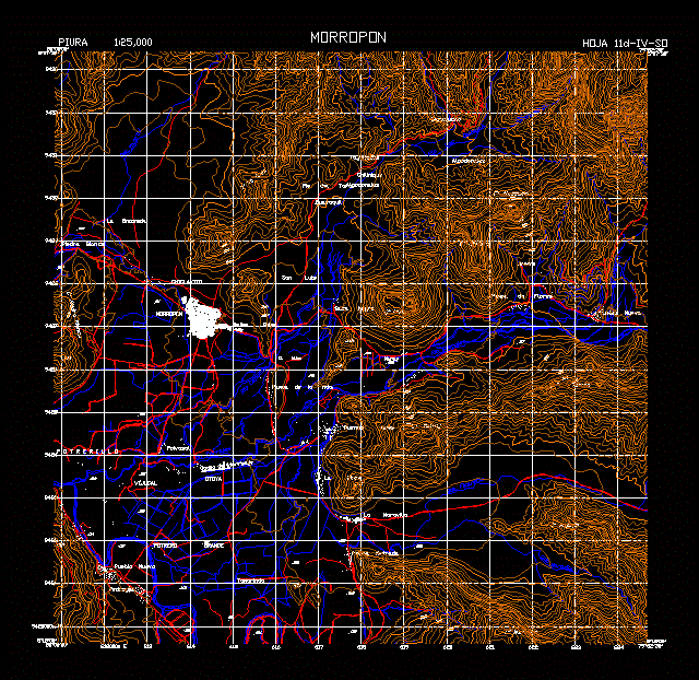
Topographical plan of the province of Piura; Morropon.La province was created in 1936. Its administrative center is the city of Chulucanas.
Drawing labels, details, and other text information extracted from the CAD file (Translated from Spanish):
zapatal, qda., river, chalaco, corrales, ficarrizo, qda, mara, villa, del, guineo, cotton, caracucho, tajanacas, chilinique, foot of the bull, guayaquil, mouth black, san luis, chico chico, pampa de la hda ., the dawn, maray, buenos aires, polvasal, landing field, otoya, vijucal, potrerillo, morropon, white stone, the rinconada, boundary, new town, pampas of flowers, stone metrada, the wonder, the pirca, big paddock , scree, chiclayito, tamarind