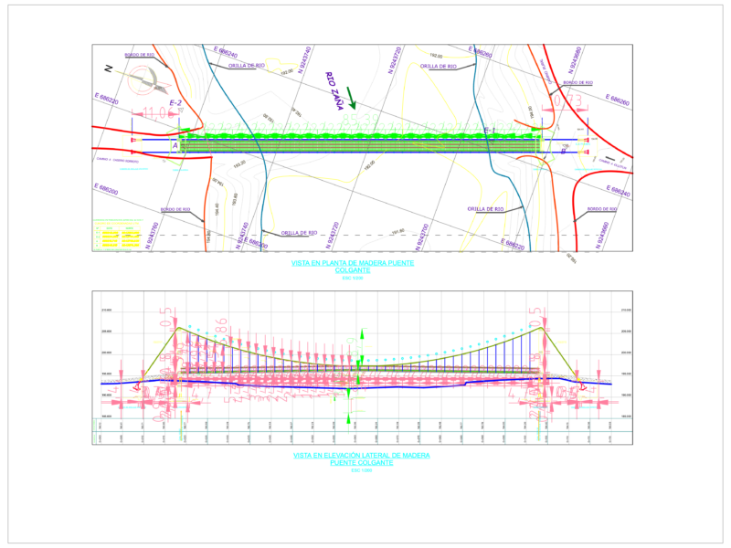
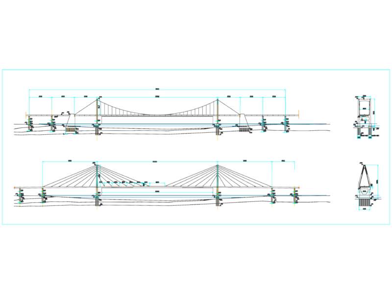
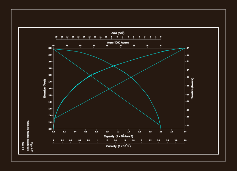
PLANO TOPOGRAFICO LADDERS – STA ANITA
Drawing labels, details, and other text information extracted from the CAD file (Translated from Spanish):
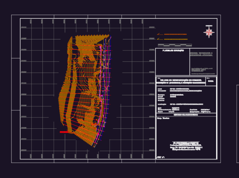
street buenos aires, psje. the junction, calle rio de la plata, calle los nardos, psje los reales, calle los andes, calle bahia blanca, malecon el amauta, datum elev, name, pbase, pvgrid, pegct, pfgct, pegc, pegl, pegr, pfgc, pgrid, pgridt, right, peglt, pegrt, pdgl, pdgr, xfg, xeg, xfgt, xegt, xgrid, xgridt, projectname, nm, bahia blanca, left, rio de la plata, buenos aires, loose rock, level of terrain, type of material, mileage, legend, concrete ladder, level curves, existing limit, magnetic north, light pole, existing pirca, bms, cofopri limit, existing wall, existing bz, bms frame, north, east, description, dimension