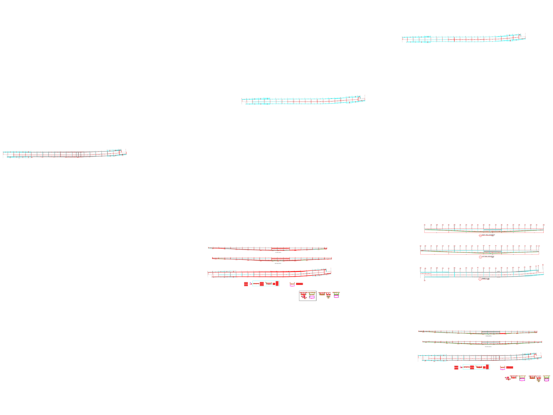
Longitudinal profile drawing for a road embankment project with integrated channelization works. This profile spans approximately 40 meters horizontally (-20.0 to +20.0) with elevation range from 3941 to 3956 meters above sea level. The design shows the existing terrain profile (yellow line) and proposed road grade line (red line), with approximately 10 meters of raised embankment section between stations -5.0 and +5.0. The existing ground elevation averages around 3948m with localized depressions. The proposed road surface maintains a, essentially, consistent elevation of approximately 3949m across the central section, creating a flat platform above the natural ground. The grid system uses 5-meter horizontal spacing and 5-meter vertical intervals for precise elevation control during construction.
Road Embankment Longitudinal Profile with Channelization design