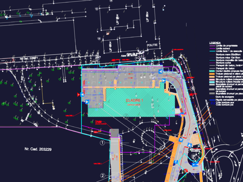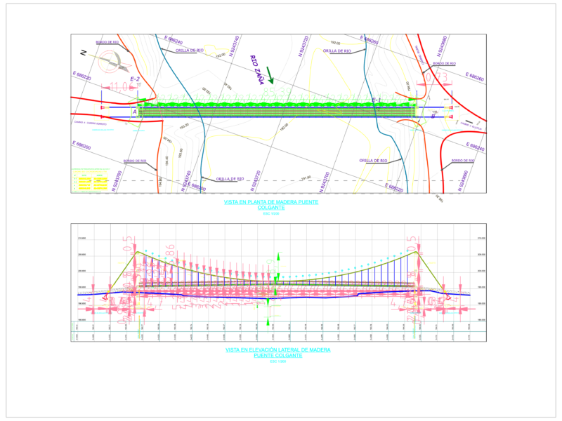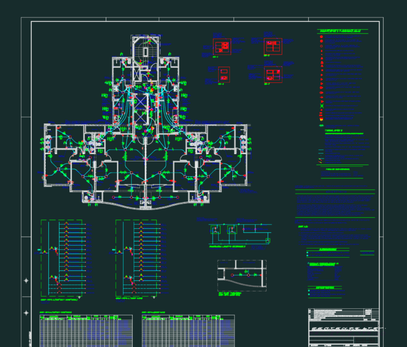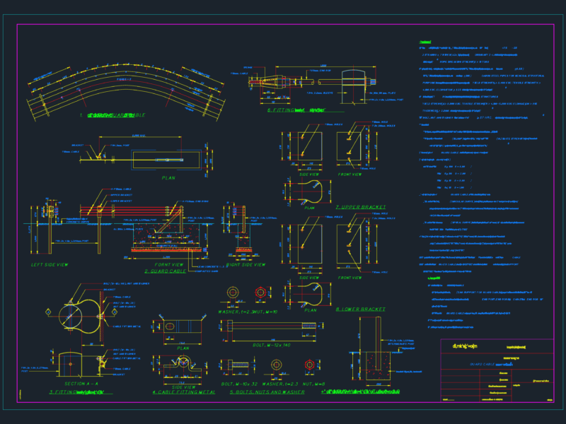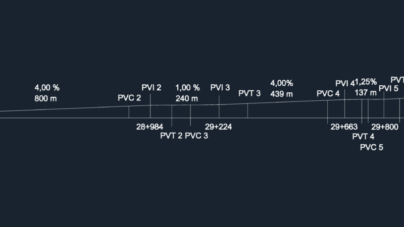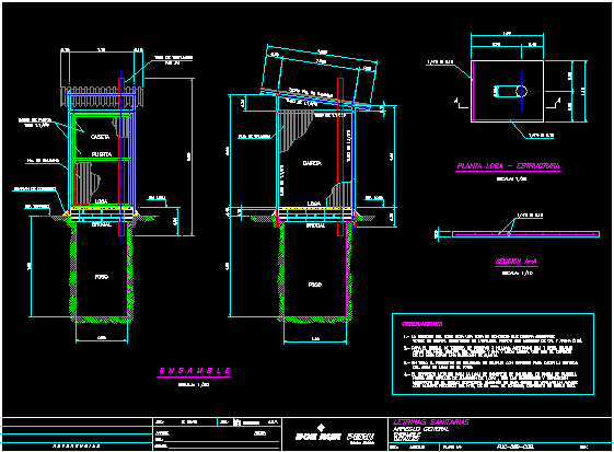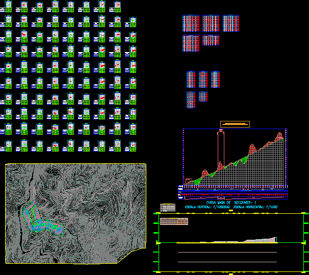
2D AUTOCAD CIVIL 2012 is a great tool ROUTES TO LAYOUT AND HOW TO GET A PROFILE LONGITUDINAL AND CROSS SECTIONS AND MOVEMENT OF LAND IN A SHORT TIME.
Drawing labels, details, and other text information extracted from the CAD file (Translated from Spanish):
tangent box: horizontal alignment, long, bearing, starting point, utm coordinates, end point, utm coordinates, elements of the curve: horizontal alignment, radius r, curve length lc, arrow f, external e, tangent t, long cord c , pc coordinates, pt coordinates, stations and elevations, horizontal alignment, fill, cut, vertical geometry, natural terrain elevation, elevation, domain, total volume table, station, fill area, cut area, fill volume, cut volume, cumulative fill vol, cumulative cut vol, material table, area, volume, cumulative volume, sare boums carlos, road layout-santa-anscash