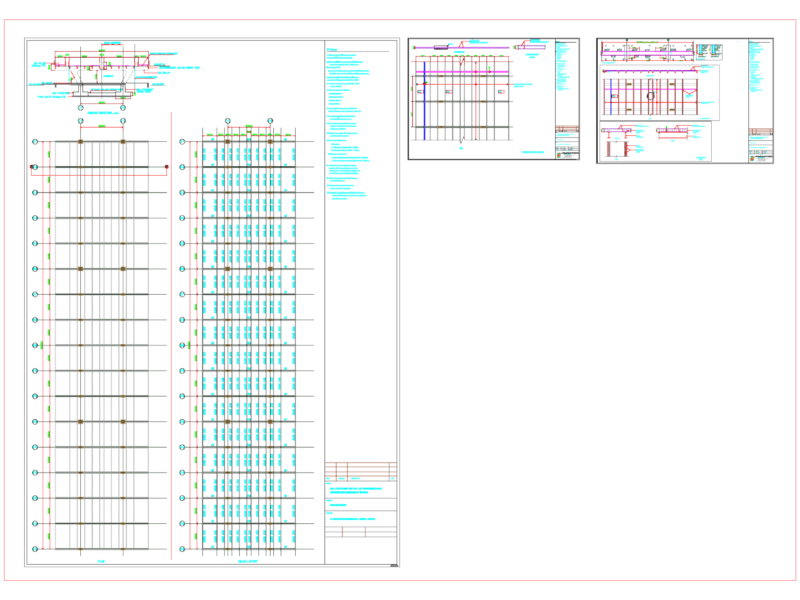
Comprehensive civil engineering plan for a 1.4km roadway reconstruction project connected to Da Trach lake improvement. The drawing includes both plan and profile views with detailed elevation data.
Key Technical Specifications:
– Total route length: 1,395.86m (Km0+000 to Km1+395.86)
– Road width: 7.0m with side embankments
– Multiple culvert systems: D600, D800, D1000 (reinforced concrete)
– Base elevation varies from +3.00m to +4.70m
– Typical cross-section includes bituminous concrete surface (BTNC 12.5, 70mm thick)
– Stone masonry embankment reinforcement with 1:1.5 slope ratio
– Channel base widths: 2.0-4.0m with restored drainage systems
– Road gradients range from 0.00% to 6.68%
– Multiple horizontal curves with radii between 700-2500m
– Connection points to existing provincial roads DT.377 and DT.378