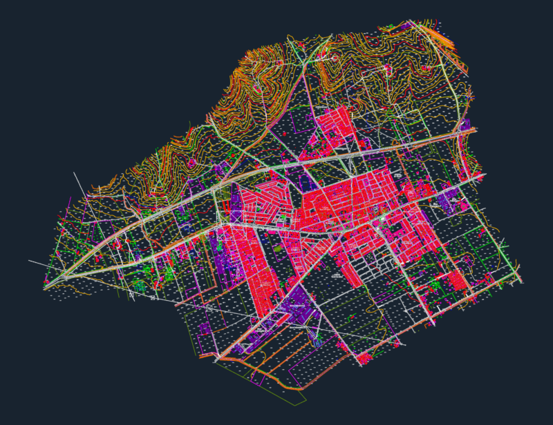
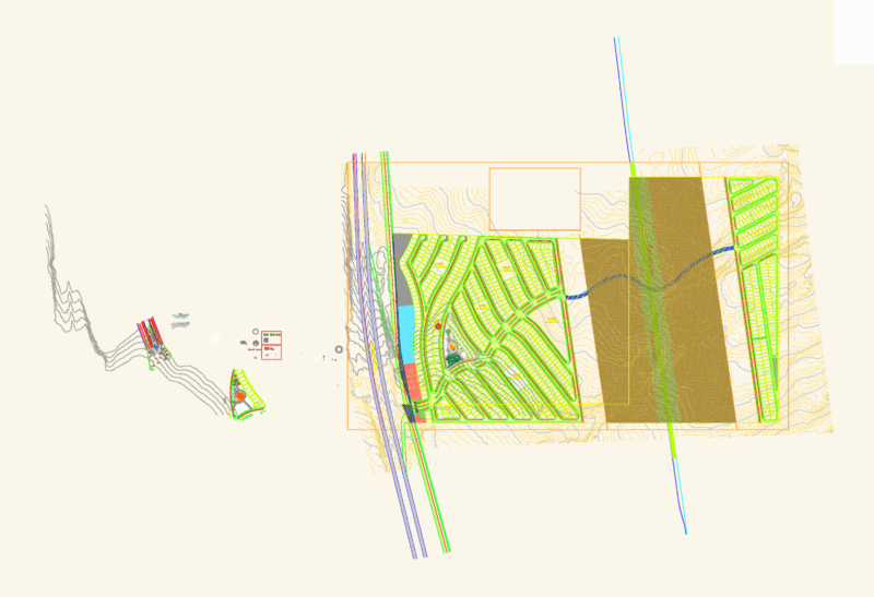
Historical evolution of roads planes in Bogota – Colombia until to day
Drawing labels, details, and other text information extracted from the CAD file (Translated from Spanish):
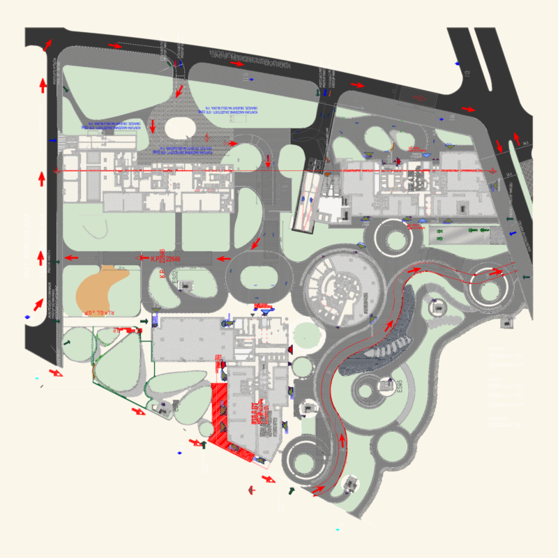
Phase ii, plan, agreement, Brunner plan, Plan sca, Le corbusier pilot plan, District plan, Existing routes in, Trains in, Urban perimeter, District perimeter, Rio bogota, District perimeter, Urban perimeter, Via proposal, Extension of the city, green areas, Existing route, railroad track, Rio bogota, District perimeter, Urban perimeter, Via proposal, Extension of the city, green areas, station, Main station, railroad track, Rio bogota, District perimeter, Urban perimeter, Several arteries, Extension of the city, green areas, Rio bogota, District perimeter, Urban perimeter, Via type, Extension of the city, railroad track, Institutional area, Via type, railroad track, Via type, Rio bogota, District perimeter, Urban perimeter, Via type, Extension of the city, Institutional area, Rio bogota, District perimeter, Urban perimeter, Via type, Extension of the city, railroad track, Via type, Extension of the city, Rio bogota, District perimeter, Urban perimeter, Several arteries proposed, Several current arteries, green areas, massive transport, railroad track, Proposed route for the Bolivar ride, railroad track, Via type, Rio bogota, District perimeter, Urban perimeter, Via type, Extension of the city, green areas, Special transport systems, massive transport, Via type, Rio bogota, District perimeter, Urban perimeter, Via type, Extension of the city, green areas