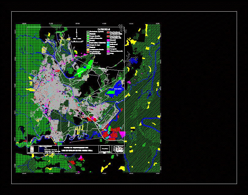
Map of the city of San Pedro Sula; Honduras with land uses
Drawing labels, details, and other text information extracted from the CAD file (Translated from Spanish):
shield, sula, Pedro, saint, weapons, primary street, categories, agricultural plantations, pastures, poultry farms, temporary crops, forest, land free bushes, water bodies, swamps, rural settlements, residential area, with low density, residential area, with medium density, residential area, with high density, industrial, commercial, institutional, parks, transport, developing lands, mines, rivers, perennial broken, non-perennial broken, plan of distribution of the, municipal boundary, laguna jucutuma, laguna el carmen, qda. the palmar, rio chamelecon, rio armenta, qda. of palm trees, qda. Saint Ana, rio santa ana, stones river, rio santa ana, Hill, willow river, rio bermejo, qda. of rocks, channel, little river, stones, River, White River, rio zapotal, Hill, conventional signs:, municipal boundary, scale, urban planning management, gpu, municipality of sps, municipal statistics, research direction, municipality of san pedro sula, use of floors in san pedro sula, master plan of urban development of san pedro sula, cs, municipality of san pedro sula, August, satellite images spot feb., padco, cinsa, source:, map no., elaboro: geographic information system, bid project, land uses, projection: zone, spheroid:, clarke, nad, fact:, square meter utm area, use of soil interpreted as, spot image, scale