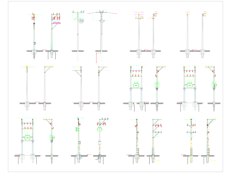
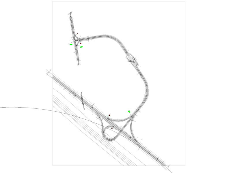
Topographical survey showing sewer network alignment and property boundareis. Incl. locations for utility poles, fences (cerca) and masonry walls (muro).
Sewer Network and Property Boundary Topographical Survey
Topographical survey showing sewer network alignment and property boundareis. Incl. locations for utility poles, fences (cerca) and masonry walls (muro).