Base Map – Kharagpur; India DWG Detail for AutoCAD
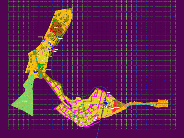
Base map – Detailed used for purposes of urban planning. The base map is prepared here Kharagpur; India . Drawing labels, details, and other text information extracted from the CAD…

Base map – Detailed used for purposes of urban planning. The base map is prepared here Kharagpur; India . Drawing labels, details, and other text information extracted from the CAD…

FILE CONTAINS THE PLANE DISTRIBUTION OF THE ESTATE LOTS WHOSE DIMENSIONS Dimension PROPERLY APPLY TO THE SIZE OF A KIND LOT OF DENSITY HR – 20 PER REGULATIONS IN EL…

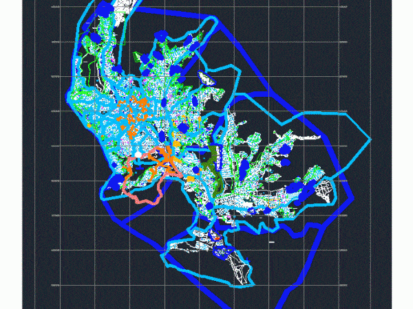
PUNO URBAN DEVELOPMENT 2008 – 2014 Drawing labels, details, and other text information extracted from the CAD file (Translated from Spanish): n.m., meters, international spheroid, projection: transversal mercator, horizontal datum:…

PLANNING CITY OF PEACE. TOPOGRAPHY (ACCESS ROADS, STREETS, HOSPITALS, GREEN AREAS, SCHOOLS CHURCHES; ECONOMIC AREAS, DISTRICTS MACRO; AREAS; FEATURES) . Drawing labels, details, and other text information extracted from the…

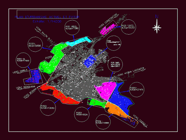
BLUEPRINT ARCHITECTURE AND URBANISM PLANNING IN AFRICA Drawing labels, details, and other text information extracted from the CAD file (Translated from French): mosque, el hadaik, city of cedars, of teachers,…
