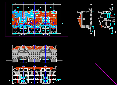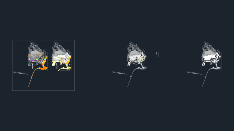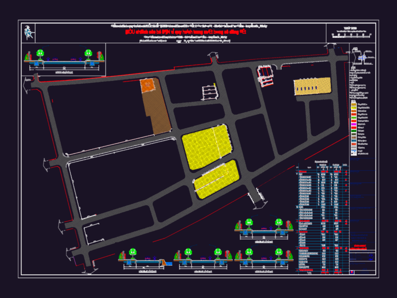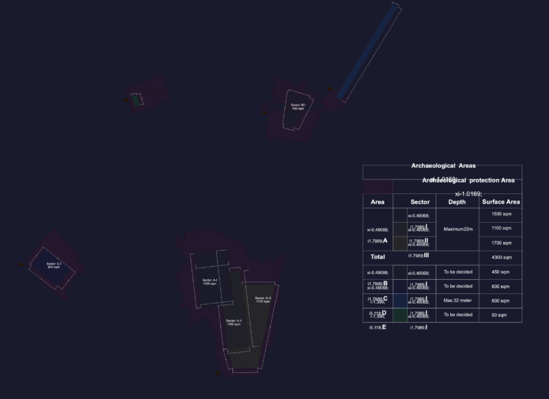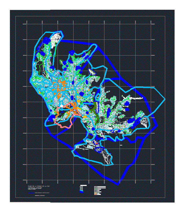
PLANNING CITY OF PEACE. TOPOGRAPHY (ACCESS ROADS, STREETS, HOSPITALS, GREEN AREAS, SCHOOLS CHURCHES; ECONOMIC AREAS, DISTRICTS MACRO; AREAS; FEATURES) .
Drawing labels, details, and other text information extracted from the CAD file (Translated from Spanish):
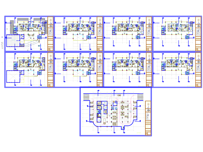
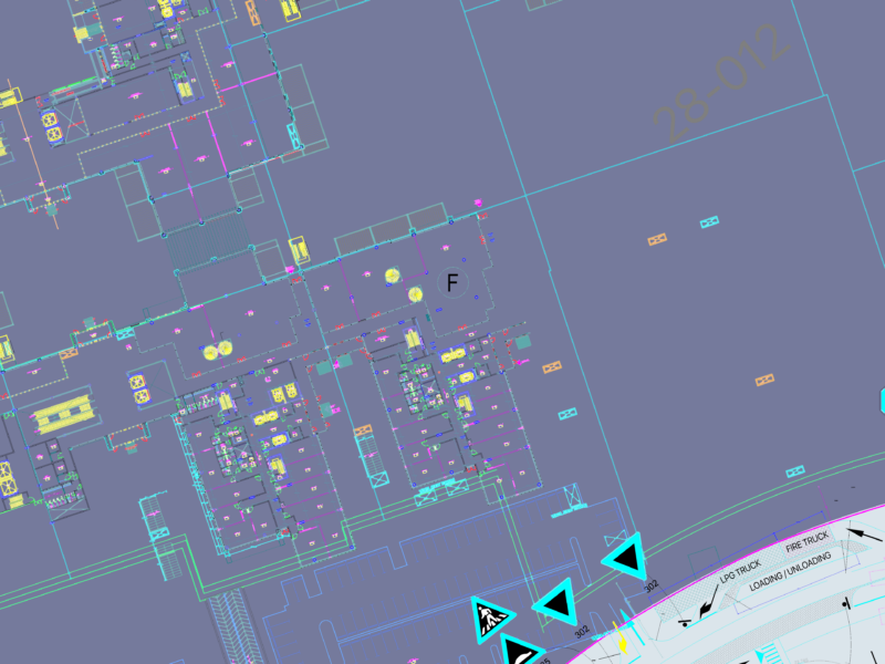
projection u.t.m. datum present plan is in the process of revision, territorial information direction, unit information system, o.m.g.t., date:, drawing:, January, vo. bo., scale, sheet, macrodistrito sub alcaldia max walls, references:, refund limit, planimetry, frozen areas, subalways, municipal districts, cadastral districts, apple tree code, previous code canceled, neighborhoods, surface, projection u.t.m. datum present plan is in the process of revision, territorial information address, unit information system, o.m.g.t., date:, drawing:, January, vo. bo., scale, sheet, macrodistrito sub alcaldia mallasa, references:, refund limit, planimetry, frozen areas, subalways, municipal districts, cadastral districts, apple tree code, previous code canceled, neighborhoods, surface, projection u.t.m. datum present plan is in the process of revision, territorial information address, unit information system, o.m.g.t., date:, drawing:, January, vo. bo., scale, sheet, macrodistrito sub alcaldia san antonio, references:, refund limit, planimetry, frozen areas, subalways, municipal districts, cadastral districts, apple tree code, previous code canceled, neighborhoods, surface, projection u.t.m. datum present plan is in the process of revision, territorial information address, unit information system, o.m.g.t., date:, drawing:, January, vo. bo., scale, sheet, macro district downtown suburbs, references:, refund limit, planimetry, frozen areas, subalways, municipal districts, cadastral districts, apple tree code, previous code canceled, neighborhoods, surface, projection u.t.m. datum January present plan is in the process of revision, center, Territorial Information Direction, unit information system, o.m.g.t., date:, drawing:, January, vo. bo., scale, sheet, Subdivision of Cotahuma Subdivision, references:, refund limit, planimetry, frozen areas, subalways, municipal districts, cadastral districts, apple tree code, previous code canceled, neighborhoods, surface, previous code canceled, apple tree code, cadastral districts, municipal districts, subalways, projection u.t.m. datum present plan is in the process of revision, frozen areas, planimetry, refund limit, Terrirorial Information Direction, unit information system, o.m.g.t., references:, date:, drawing:, January of, vo. bo., scale, sheet, macrodistrict sub peripheral alcaldia, peripheral, neighborhoods, surface, projection u.t.m. datum present plan is in the process of revision, territorial information address, unit information system, o.m.g.t., date:, drawing:, January, vo. bo., scale, sheet, macrodistrito sub alacaldia south, south, macrodistrito sub alcaldia south, sheet, scale, vo. bo., January, drawing:, date:, o.m.g.t., unit information system, territorial information address, projection u.t.m. datum present plan is in the process of revision, references:, refund limit, planimetry, frozen areas, subalways, municipal districts, cadastral districts, apple tree code, previous code canceled, references:, refund limit, limit