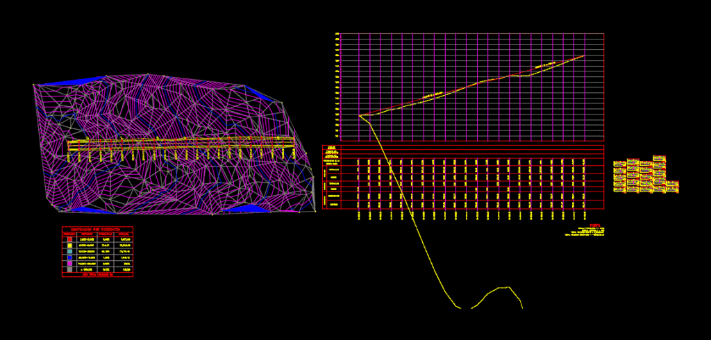
It has polygonal; contruccion box; calculating slopes; sections of terrain and road cuts
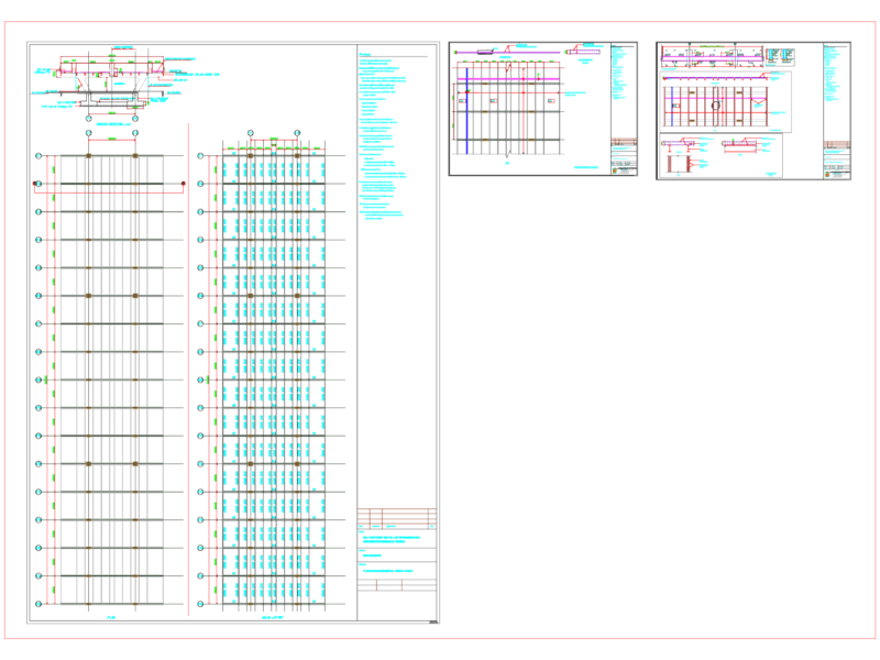
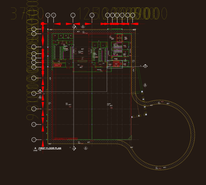
Drawing labels, details, and other text information extracted from the CAD file (Translated from Spanish):
type, material, factor, abundance, compaction, ordinates, mass curve, embankment, cut, subgrade, terrain, volume, thickness, elevation, profile, slope zoning, symbology, slope, percentage