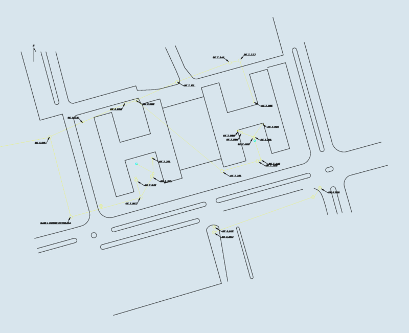
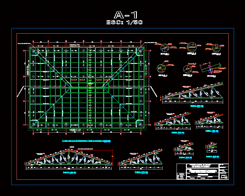
Site plan for the Rio da Onça State Park and surrounding land parcels. Covers the full perimeter with sectors 11, 12, 13, and 14 detailed in hectares — it’s a huge area. I’ve included all the coordinate markers, river paths, and notes on property overlaps with the Pedra Branca estate. Georeferenced points and SIGEF certification are in there too. Planta geral do Parque Estadual do Rio da Onça com perímetros ampliados.
Topographic Survey Map and Perimeter Plan for Rio da Onça State Park