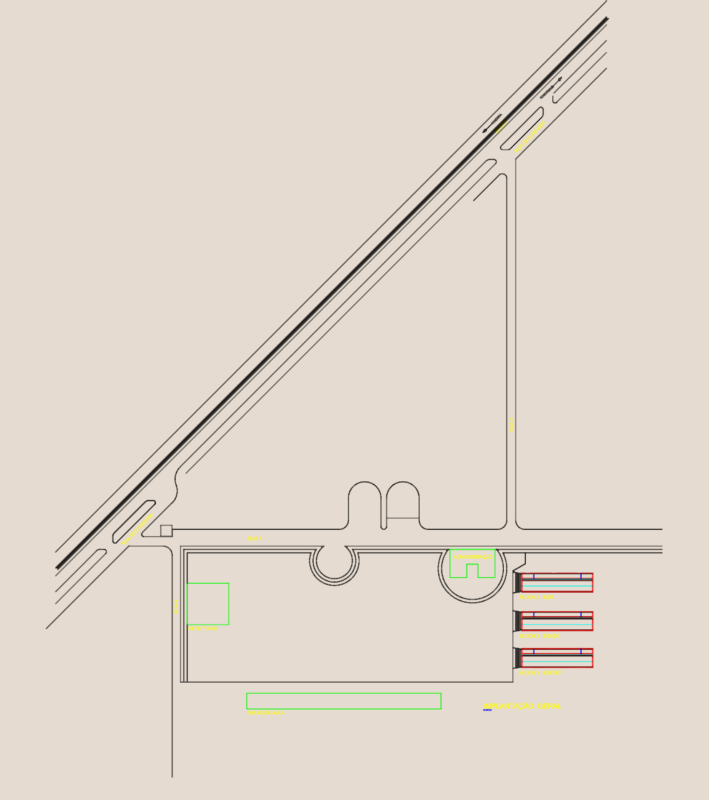
This drawing is for a pipeline route survey including a topographic plan and longitudinal profile view. It shows natural terrain elevations, 4-inch and 10-inch lines, and specific H-frame support details for the infrastructure. The profile uses a 1:1000 horizontal and 1:100 vertical scale. This could be useful in industrial piping projects or oil and gas infrastructure planning.
Pipeline Route Plan With Longitudinal Profile And H-Frame Support Details