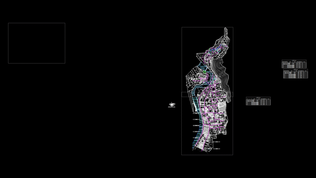
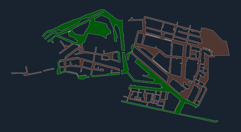
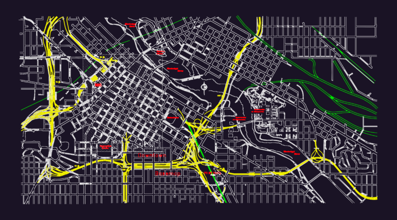
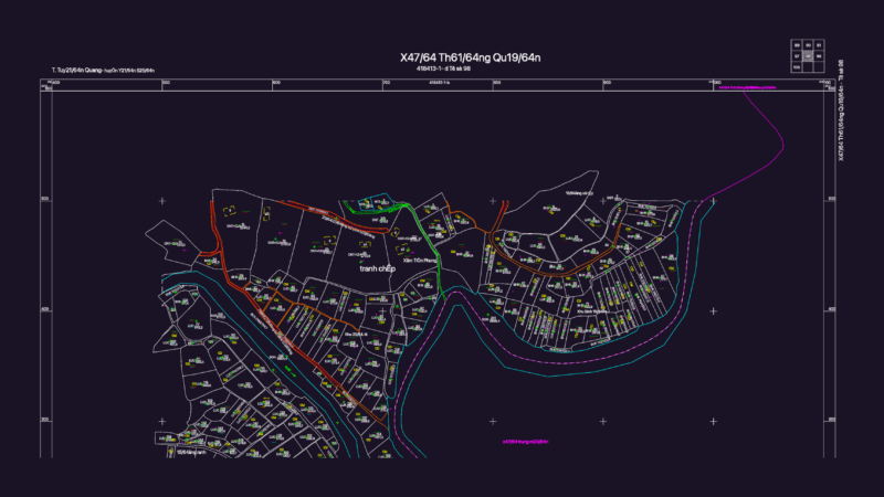
Comprehensive urban planning documentation for the Tashi village redevelopment project with completed upper and lower sectors (referenced in filename: 上下塔石已完成). The plan integrates multiple infrastructure systems including water supply networks (evident from layers SwBzPWPipe, hydm_ws_pipe), drainage systems, and road infrastructure. Elevation data points throughout the site range from approximately 251m to 279m, indicating significant topographical variation. The site features several civic structures including a school (塔石小学), government office (乡政府), power supply facility (供电所), and healthcare center (卫生院). Residential zones are differentiated by construction types (木/timber, 砖/brick, 土/earth) with detailed notations for structural classifications. The design includes key circulation routes like Taoyuan Street (桃源街) and Fengxi Road (枫溪路), with cultural elements including the Tang-Su Line (汤苏线) as noted in recurring text elements.
Urban Site Plan for Tashi Village Development with Utility Infrastructure