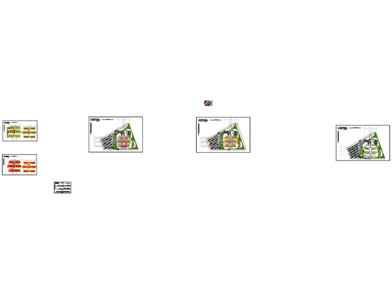
aquaculture development map for the Quang Yen area, for fishery and farming zones. includes the full master plan layout with subdivided lots like A25, A31, and B-series plots for coastal use. you’ve got topographical contours, island markers (Hang Doi, hon Lao Dac), and river boundaries for Song Ganh Si. units are in meters and the drawing covers a massive regional scale. i’ve included the planning boundaries (RanhQH), lot divisions, and navigation lach (channels). there are about 18 detail sheets (A92 series) for zoomed-in sectors of the aquaculture grid.Bản đồ quy hoạch nuôi trồng Quảng Yên.
Regional Aquaculture Planning and Land Use Map Quang Yen