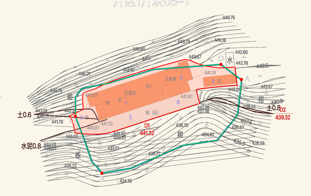
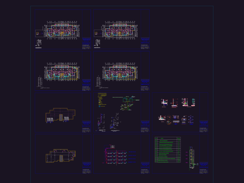
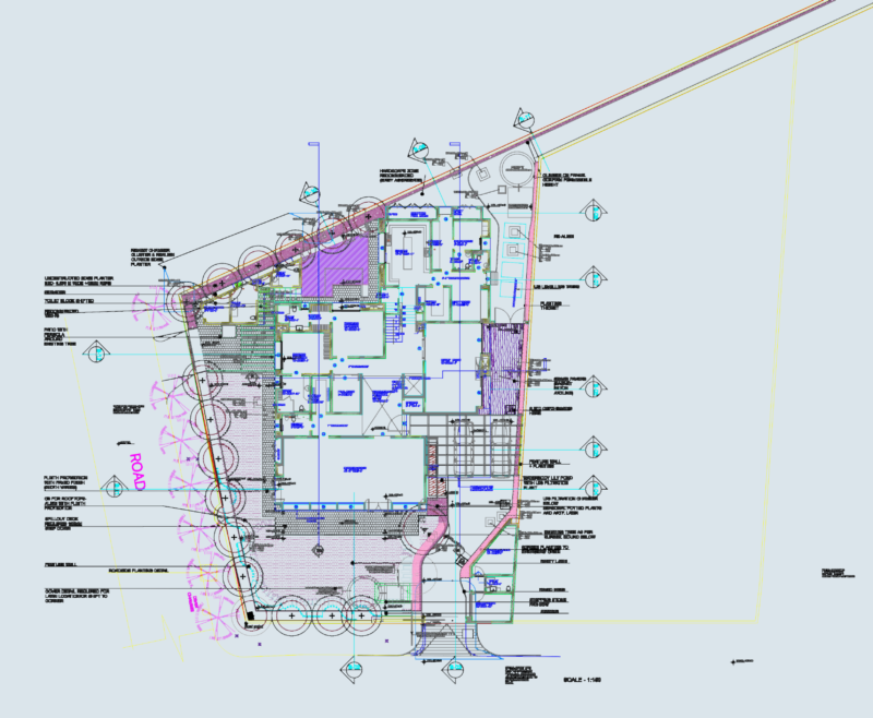
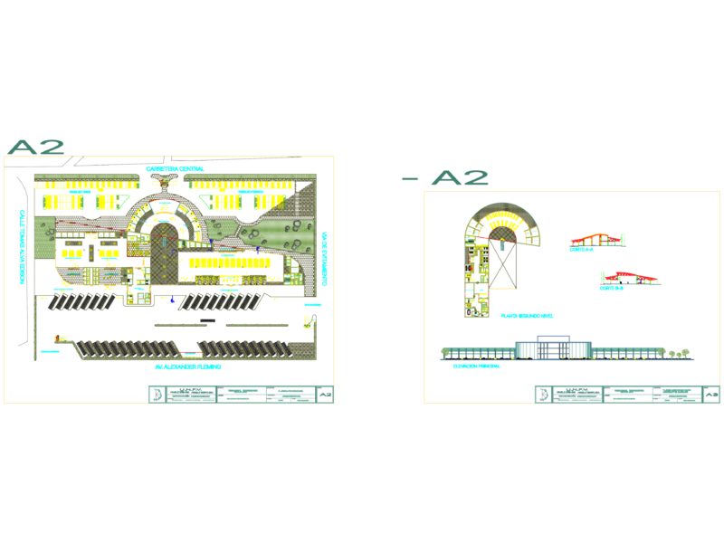
Current status survey drawings for rural construction land reclamation in Banan District. – Scale: 1:500 with 0.5m contour intervals. – Data: Spot elevations, coordinate tables (Approx. Xi’an 1980), and land use classification for homesteads and agricultural restoration areas. – Materiality: Notes on existing masonry, concrete, and stone structures.
1:500 Rural Land Reclamation and Status Survey Map Set