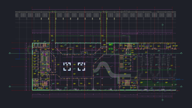
Mexico airport
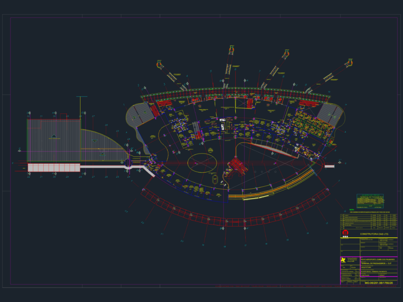
Drawing labels, details, and other text information extracted from the CAD file (Translated from Spanish):
e.s.i.a., north, no. g.v., graphic scale, location, student, review, graphic expression ii, signatures :, plane :, cd airport. from mexico, esia u- zacatenco, date :, scale :, acot: m, logo, chihuahua, sonora, baja california sur, sinaloa, durango, coahuila, new leon, tamaulipas, zacatecas, nayarit, ags, san luis potosi, guanajuato , jalisco, queretaro, hidalgo, veracruz, tlax., puebla, michoacan, warrior, edo. mex., d.f., morelos, oaxaca, chiapas, tabasco, campeche, yucatan, quintana roo, baja california, colima, golfo de, mexico, or c a a n a p a c i f i c o, measured tracks, general aviation hangars, workshops s.c.t., col. federal, col. moctezuma, fuel zone, col. treasure knife, Mexican maintenance base, customs, platform, operations platform, light aircraft platform, tower, perimeter road, regulating vessel, seneam, col. rock of the baths, housing unit san juan de aragon, presidential zone, col. snail, radar, bravo, coca, crei, commercial terminal, aviation building, international airport of the city of mexico, central curve, widening curve, edge of decrease