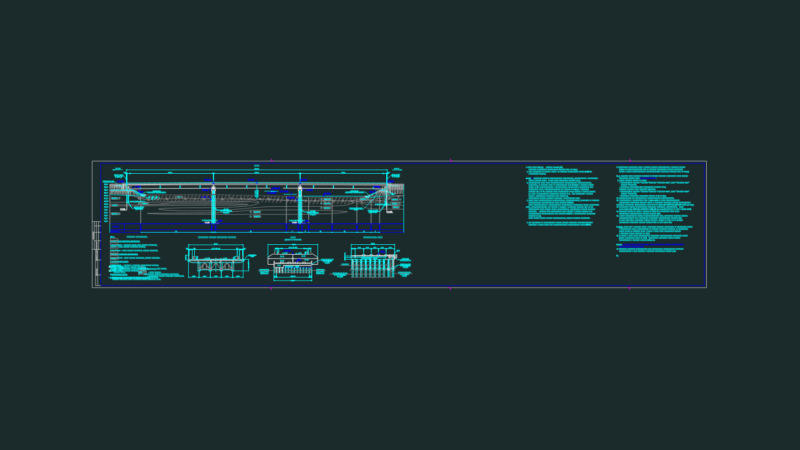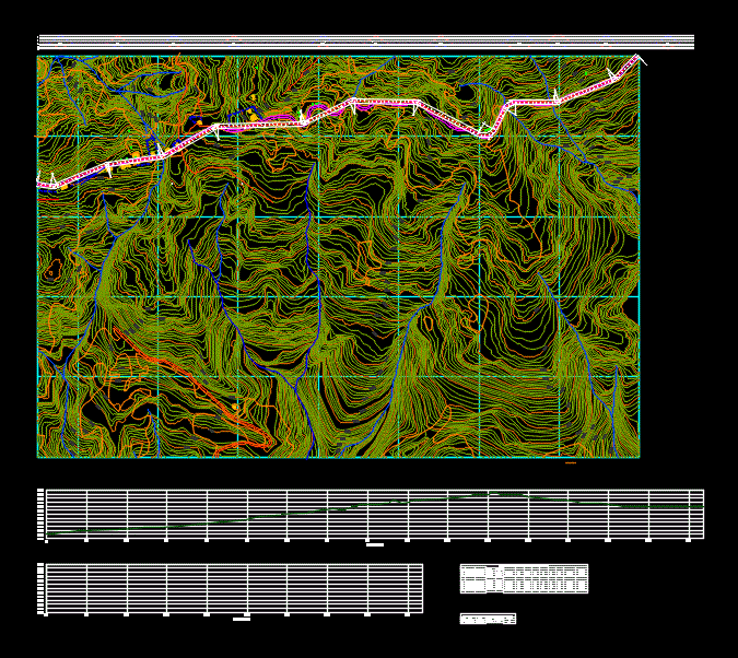
Cartography of the Municipality of Manizales in Colombia; It contains main level curves every 10 meters and secondary level curves every 2 m. You also have planned a route with its horizontal alignment; Vertical and cambers.
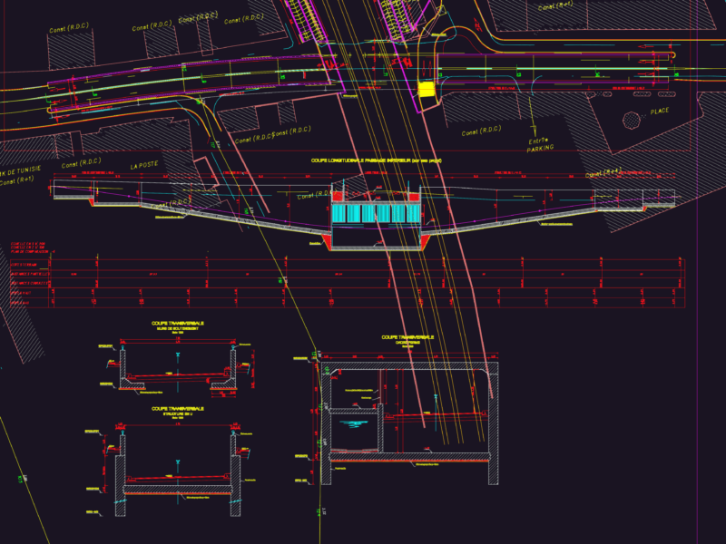
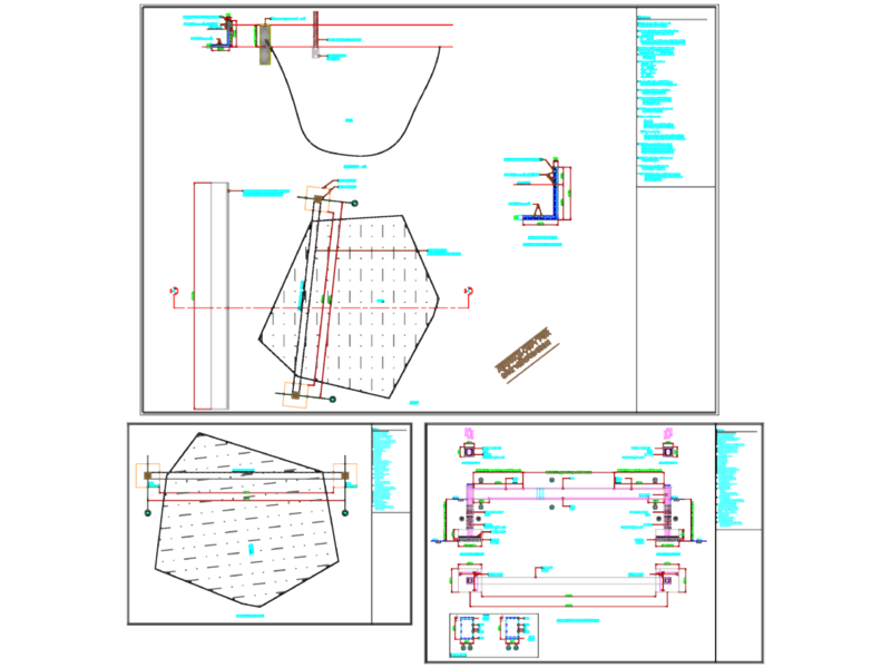
Drawing labels, details, and other text information extracted from the CAD file (Translated from Spanish):
ubi veritas ibi libertas, univ, francisco jose de caldas district university, name :, scale :, juan sebastian avila fraile, revision :, modifications :, project :, contains :, plane :, date :, file :, iii, plant, profile, —-, cartography manizales.dwg, code :, left, point, north, east, azimuth, distance, deflection, radius, degree, length, tangent, external, rope, right, abscissa