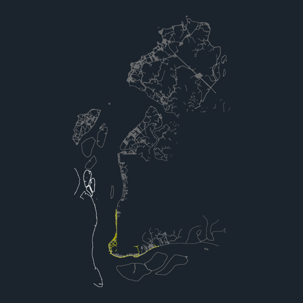
topographic survey map for coastal development featuring contours at 5m, 10m, and 20m intervals. includes layer data for shoreline margins, building footprints, and spot levels (pontos cotados). specific geographic markers for Ilha das Onças and the ENASA shipyard area are provided with toponymy. metric dwg file using mm units for site layout.contains over 8000 entities including lwpolylines for terrain curves and text labels for elevation data. 2D plan view only, no 3D mesh included. we’ve used this for preliminary urban layout studies.
Coastal Map CAD with Island Contours & Shipyard