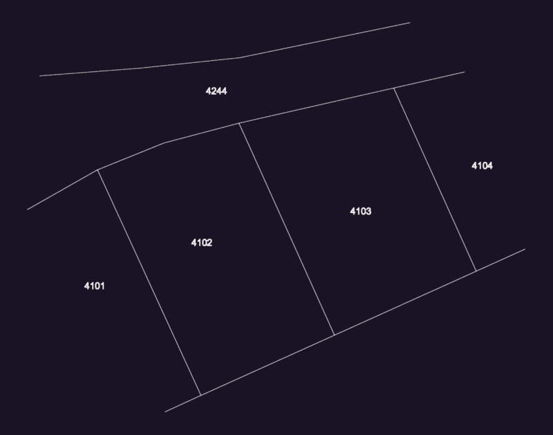
Map district Cuaupla and its environment physical natural
Drawing labels, details, and other text information extracted from the CAD file (Translated from Spanish):
H. H. Mor., State of morelos, Ing. Arq. Guillermo guerrero murguia ing. Arq. Jose luis navarro pineda ing. Arq. Leopoldo pardavell lopez, Roads, Rodriguez guevara andromaco rojas martinez jose manuel sanchez diaz enrique sanchez valdez maribel solache gonzalez pedro, students, scale:, Dimension:, September, sheet, Advisors, Architects, Warrior, Guatemala, Belize, location, Morelos, Gulf of Mexico, Pacific Ocean, draft, United States of America, federal District, Mexico, Puebla, Cuautla, Municipality of cuautla, State of morelos, Lomas tecolote km., Acwo, Tepoztlan km., Yautepec km., Cocoyoc, Nexpan tent, Yecapixtla km., Amecameca km., Semi-arid climate, warm weather, The hospital km., I closed the idol, Canyon the towers, Paved road, Terrace, railroad track, Natural barriers, Area boundary, Current urban, Area boundary, municipal, Jaltetengo km., Symbology, Anenecuilco km., Ravine the guavas, Km., Cuautla, Salt water ravine, Lomas tecolote km., Yecapixtla km., Nexpan tent, Cocoyoc, Yautepec km., Tepoztlan km., Amecameca km., Jaltetengo km., Intermediates, Rocks, Soft, Rocks, Hard, municipal, Area boundary, Current urban, Area boundary, Natural barriers, railroad track, Terrace, Paved road, Canyon the towers, Km., Ravine the guavas, Anenecuilco km., Symbology, Salt water ravine, Cuautla, I closed the idol, The hospital km., Municipality of cuautla, State of morelos, September, Dimension:, scale:, sheet, Rodriguez guevara andromaco rojas martinez jose manuel sanchez diaz enrique sanchez valdez maribel solache gonzalez pedro, Ing. Arq. Guillermo guerrero murguia ing. Arq. Jose luis navarro pineda ing. Arq. Leopoldo pardavell lopez, Advisors, students, Roads, Puebla, location, draft, Cuautla, Mexico, federal District, United States of America, Pacific Ocean, Gulf of Mexico, Morelos, Belize, Guatemala, Warrior, Architects, Tepoztlan km., Municipality of cuautla, Amecameca km., Puebla, Anenecuilco km., State of morelos, I closed the idol, Yautepec km., Cocoyoc, Nexpan tent, The hospital km., Cuautla, Advisors, Kilometers, graphic scale, September, Ing. Arq. Guillermo guerrero murguia ing. Arq. Jose luis navarro pineda ing. Arq. Leopoldo pardavell lopez, Rodriguez guevara andromaco rojas martinez jose manuel sanchez diaz enrique sanchez valdez maribel solache gonzalez pedro, scale:, Dimension:, topography, students, sheet, Jaltetengo km., Terrace, railroad track, Symbology, Natural barriers, Area boundary, Current urban, Area boundary, municipal, Paved road, Ravine the guavas, Lomas tecolote km., Yecapixtla km., Salt water ravine, Km., Canyon the towers, location, Architects, Warrior, Guatemala, Belize, Morelos, Gulf of Mexico, Pacific Ocean, United States of America, federal District, Mexico, Cuautla, draft, More than, From to, pending, From to, pending, Kilometers, graphic scale, Kilometers, graphic scale