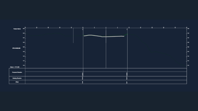
Plane typical section of the dam: detailed section of the dam is included with all levels; the graph
Drawing labels, details, and other text information extracted from the CAD file (Translated from Spanish):
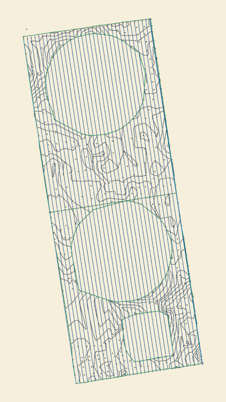
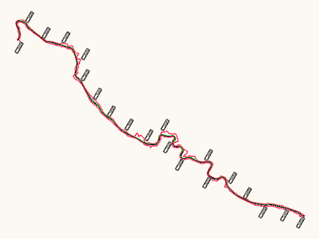
Shaft shaft, crown and dentellon axis, crown, gravel and sand, rock, terrain, area, waterproof, gravel and sand, permeable, concrete dentellon, limestone, maximum section, graphic scale, waterproof core, material core waterproof material for espaldon filter of rock-rolled material, description, quantity, unit, useful volume, superstorage volume, dead volume, maximum volume maximorum, msnm, mmc, river bottom level, longitudinal profile of the reservoir dam, progressive by the axis of the dam, natural terrain, typical section of dam with impermermeable core, design of a reservoir dam, indicated, date:, river chankay, region :, province :, scale :, district :, lamina :, location :, plan :, project :, st y-pl, typical section and longitudinal profile of reservoir dam, professor: