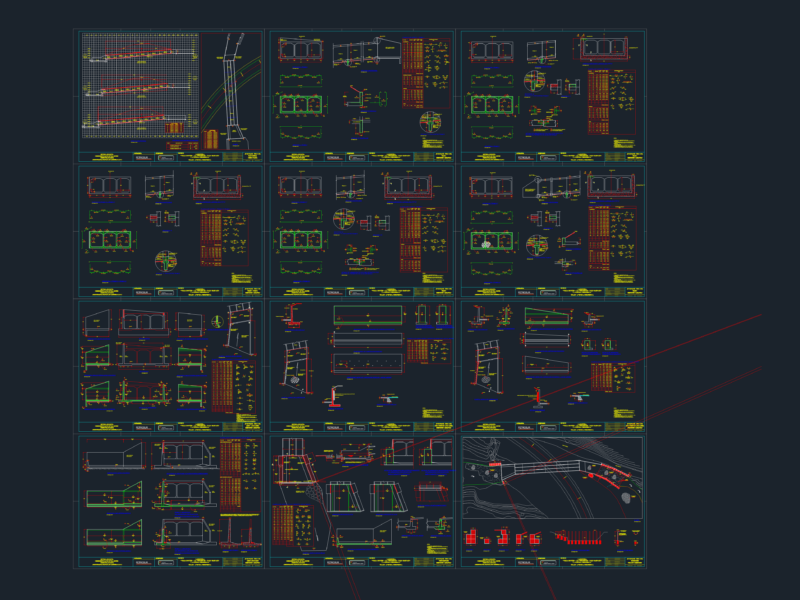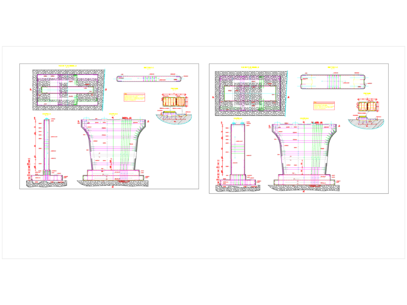
Details – specification – sizing – Construction cuts
Drawing labels, details, and other text information extracted from the CAD file (Translated from Catalan):
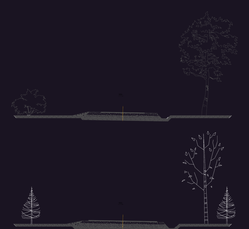
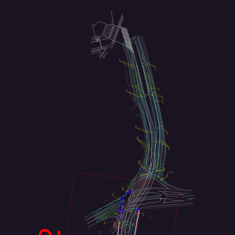
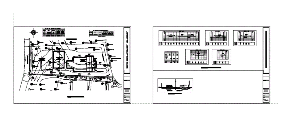
the labyrinth, the north highway, the cool mountain, see the rural map, the best way to see the city, see the urban landscape, the rodeo, the international airport of Managua, the rodeito, montefresco, the municipality, and esc. burned, coastal area of the lake, unit of purpose, northeast sector of the airport, see rural map, samuel foundation, North American highway, carnic, park, park, hotel real road, south east sector of the airport, n: variable, , terrain terrace, civic square, address, pavilion, sports area, descapotado natural terrain, right of way, property limit, rain channel, coated, pedestrian, green area, content:, terraceria plant, indicated, scale:, date :, designer :, plane :, topography, terraceria plant, alley, pathway, reverse polygonal data, side, coordinates, distance, course, east, georeferencing data, elev., roberto gonzalez, street, topographic, topographic terraceria cuts, typical south street section, canal, line of retreat