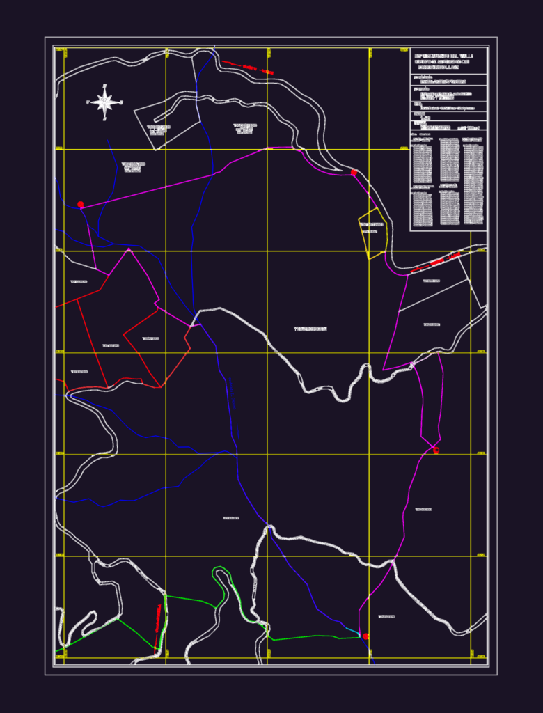
Planimetric survey of a 32.541 ha (50.8 plazas) rural estate in Santiago de Cali, Valle del Cauca. Plot shows property boundaries (linderos), topography contours, and natural features incl. creeks (quebradas) and zanjón. Coordinate tables provide precise Northing and Easting data for key survey points A through D, covering the water intake (bocatoma) and via principal. Levantamiento planimétrico de área y linderos para la Finca La Paz. Propiedad de 32.5 hectáreas con curvas de nviel y coordenadas detalladas.
Finca La Paz Planimetric Land Survey CAD Plan