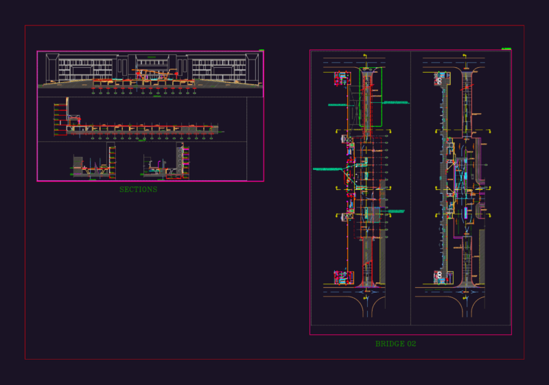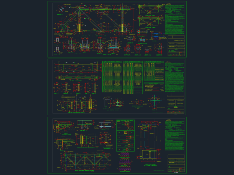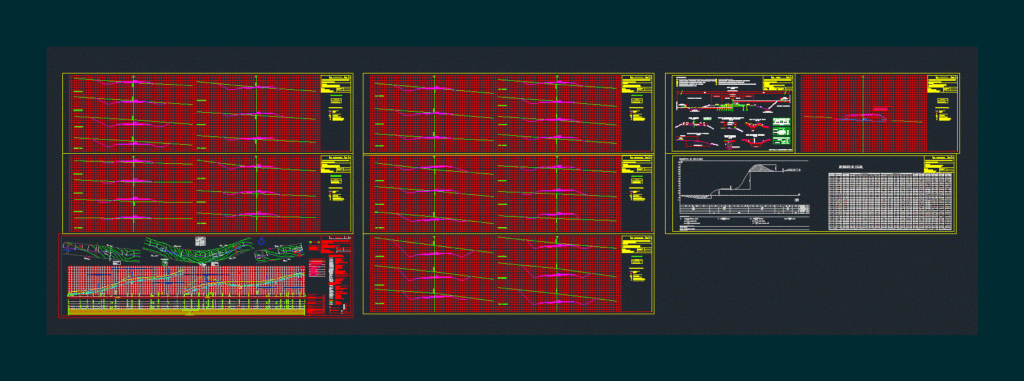
1km geometric design project map. Includes longitudinal profiles; transverse; tracing and planimetry vertical curves. Computation.
Drawing labels, details, and other text information extracted from the CAD file (Translated from Spanish):
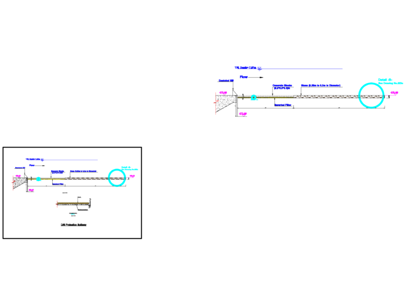
part: planialtimetría, province: neuquén, plano, part: flat type, limit road area, slope according to square, cotratalud according to square, gully, sidewalk, ntn, level elevation, profile type of work, semi-profile in embankment, semi-profile in waste , structural package, guard ditch type profile, transversal drain type profile, without handrail, with guardrail, countershafts, common ground, consolidated soil, decomposed rock, sound rock, minimum widths of ditch hearth, embankment, clearing, profile banked, note : all measurements are in meters, shoulder, road, pavement edge, protective cord, identification of slopes and shoulders, crowning, widening of shoulder with guardrail, location according to planialtimetrías, normal width, gonzalez maximiliano, dolan ricardo, torchiana facundo, profile type, projected works, planimetry, planialtimetria, study and project, transversal profiles, to sanitary, to stone of the eagle, according to transversal profiles and bruckner diagram, according to diagrams, according to profile type of work, part: drain profiles, drain profiles, soil movement, progressive, excavation, transport, total distance, transport, loans, deposits, esc :, diagráma de bruckner , transport of soil, total of excavations of the section, total of embankments of the section, part: movement of soils.