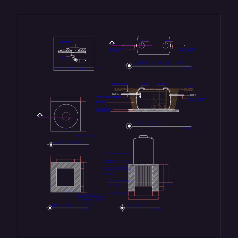
This drawing is for a cadastral map of a German village featuring building footprints, parcel numbers, and street layouts. Everything is organized by layers including boundary points and UTM coordinates and could be useful in urban planning.
German Village Topographic Cadastral Plan DWG With Parcel Data and Infrastructure Layers