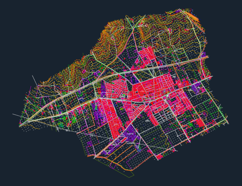
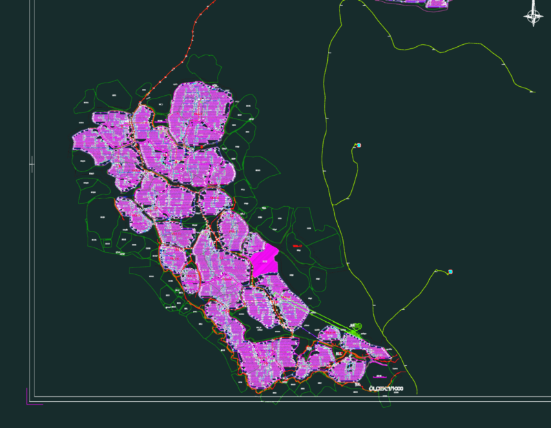
Maritime route layout connecting Hoi An (Cua Dai) and the Cu Lao Cham islands in Vietnam. Includes 17km of chinage markers, specific GPS survey points (QG123 series), and locations for mooring buoys (Phao neo). Labeled with key regional landmarks like Hon Mo and Hon Dai for navigation or coastal infrastructure planning.
Hoi An to Cu Lao Cham Maritime Route and Survey Plan