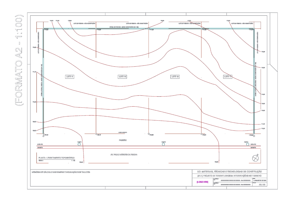
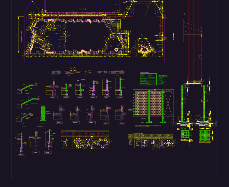
Topographic survey for a site on Av.. paulo Mendes da Rcha. Incl. contour lines, plot divisions (lots 11-14), and elevation points throughout the terrain. We’ve added space for ramp & slope calculations, curb details, etc. Planta de levantamento topográfico e projeto de terraplenagem.
Land Survey Map with Elevation Contours and Street Alignment