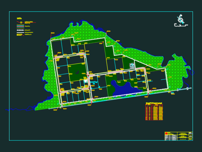
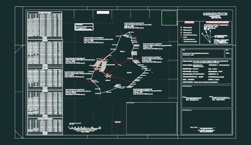
Urban Cacahotan
Drawing labels, details, and other text information extracted from the CAD file (Translated from Spanish):
av. south, av., av. south, av sur, av. south, av., south, av. south, av., gladiolas, orchids, East, av., East, Santa Rita, the parcels, tabasco, Oaxaca, west, av., sound, hidden water stream, stream, carrillo puerto sur, the parcels, property boundary, west, av. west, tuxtla boy, av., south, union juarez, avenue, campeche, East, av. East, av. south, av. north, tuxtla boy, visual until you find the river, the coffee plantations, av. north, north av, rural, municipality, tuxtla boy, huehuecho stream, av., av., av. west, Mexico, west, av., East, pte., av., East, pte., av., East, pte., av., East, av., East, av., west, av., north, av., north, central, west, av., north, north, av., central, north, avenue, north, avenue, north, avenue, north, west avenue, av.pte., pte., avenue, south, avenue, south, av. central, south, avenue, south, avenue, south, avenue, south, avenue, south, avenue, south, avenue, south, I laughed peace, avenue, north, av., central, East, avenue, East, north, prol., the carmen, the estate the glory, property boundary, south, av., north, av., north, cahoacan river, pancake stream, manuel ties, sky river, alley to the road santa rita, peace