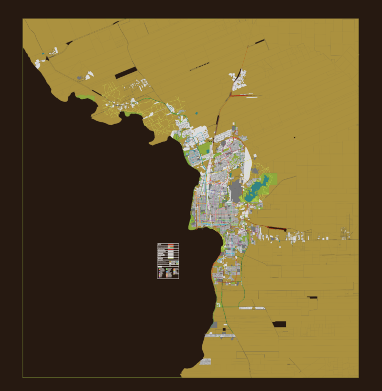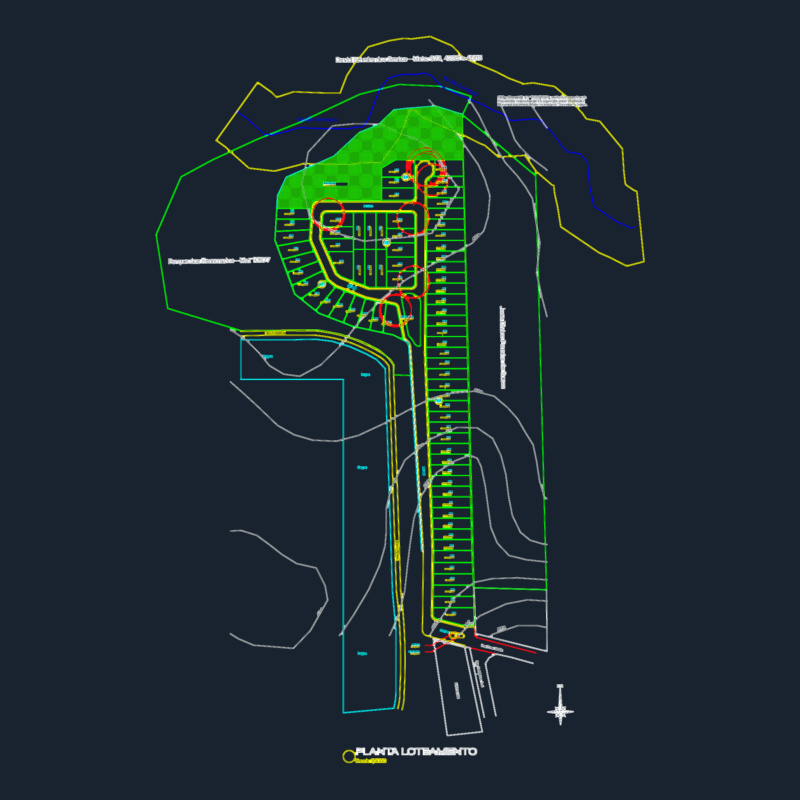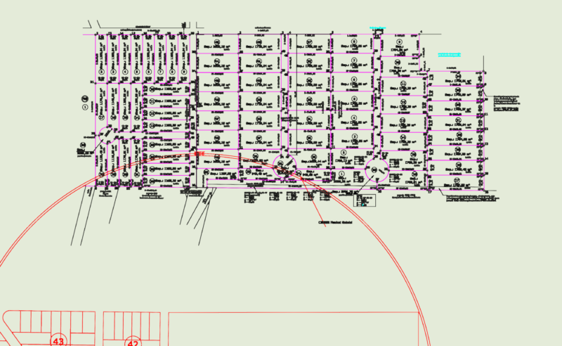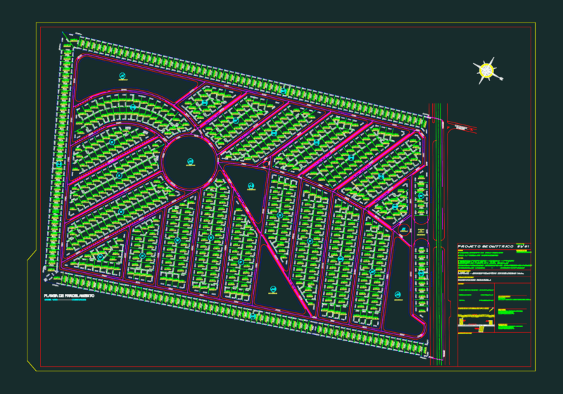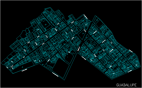
2D AutoCAD city map of Guadalupe, located in Ica, Peru. This urban plan includes detailed block and lot subdivisions (manzanas and lotes), an extensive street network with local nomenclature, and specific zoning for residential, commercial, and communal use.
The drawing contains road cross-sections (sections A-A through F-F) and a general summary table for area distribution. Notable infrastructure and landmarks include the high-tension line servitude, water reservoirs, pumping booths, and designated areas for education, health services, and public recreation such as parks and sports fields.
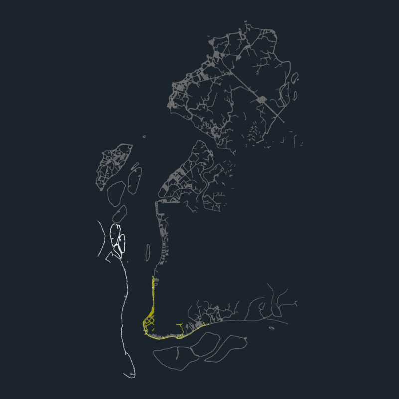
The file details the street layout for major thoroughfares including Av. Miguel Grau, Av. Pachacutec Yupanqui, and Av. Jhon F. Kennedy, alongside residential passages and secondary roads. It is a cadastral base for the Guadalupe district. Plano urbano de la ciudad de Guadalupe, Ica.