Map Of The City Of Huamanga Updated DWG Section for AutoCAD

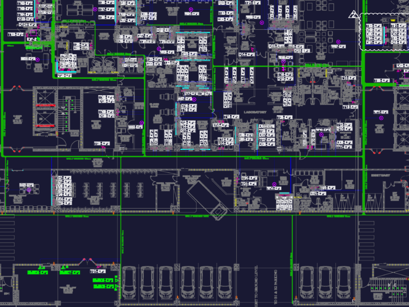
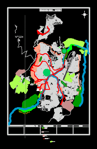
Map; map or chart of a city; section or subdivision indicating the location and boundaries of individual properties.

Drawing labels, details, and other text information extracted from the CAD file (Translated from Spanish):

N.m., Fulbito line, Basketball line, Slab edge, Mz.

Raw text data extracted from CAD file:

FREE

File Details

File Type
DWG
Type
Section
Language
Spanish
Features
Car Parking Lot, Garden / Park
Uploaded by
CAD Drawings
Category
Drawing with Autocad
Published
Jul 6, 2017

Download faster, ad-free, with more daily files from $7/mo

Browse All Downloads