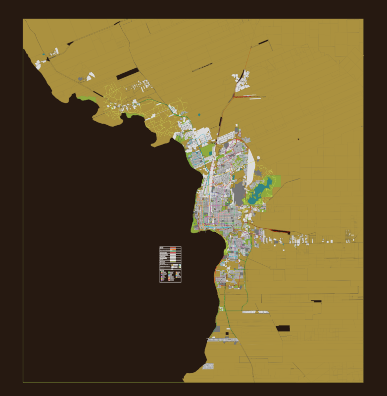
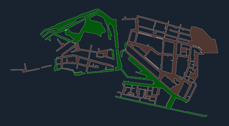
Map use of the floor at municipality of Coacalco in Mexico State
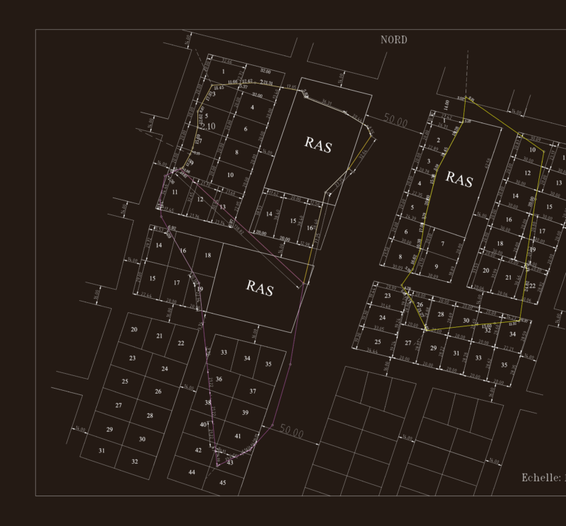
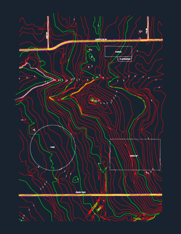
Drawing labels, details, and other text information extracted from the CAD file (Translated from Spanish):
housing, urban corridor centers, cur., urban equipment, education culture, recreation sport, equipment, little, industry, non-polluting, unscheduled buildable area, Park, not protected, Infrastructure works, infrastructure, symbology:, dimension, scale, graphic scale:, state limit, municipal boundary, urban trace, regional road, primary road, secondary road, terrace, railroad track, electric power line, duct, cutzamala line, River, channel, runoff, Level curve, coa, Blvd. Coal, av. Manuel Morelos, axis, jose lopez portillo road, municipality of ecatepec, old helmet, urban, mexican, mexican, jose lopez portillo road, municipality of ecatepec, old helmet, urban, mexican, mexican, jose lopez portillo road, municipality of ecatepec, sierra de guadalupe, san francisco ejido, old town, urban, old helmet, urban, mexican, mexican, are, unscheduled buildable area, unscheduled buildable area, aunp., vialidad dahlias, cur, cur, it is observed that more of the total surface of coacalco is habitacional zone., observations: