Designs CAD
Categories
Upload
Pricing
Blog
FAQs
0
Login
Sign Up
Home
/
Public Facilities
/
City Plans
/
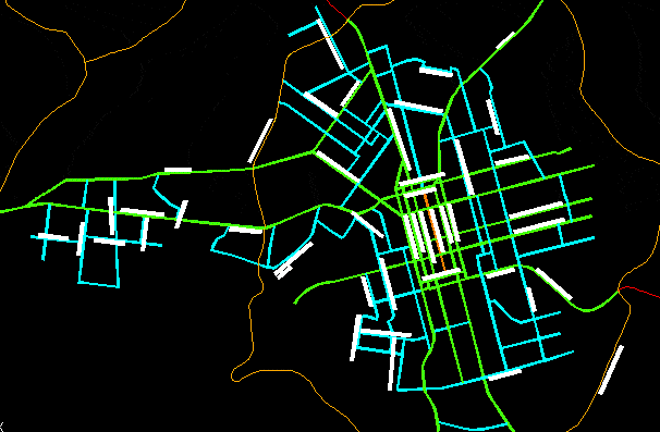
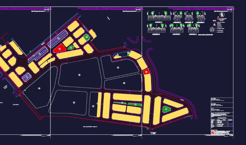
Map Road System Chapeco City DWG Block for AutoCAD
Map Road System Chapeco City DWG Block for AutoCAD
×
−
100%
+
Road system od Chapeco city
FREE
File Details
File Type
DWG
Type
Block
Language
Other
Units
Metric
Uploaded by
CAD Drawings
Category
City Plans
Published
Apr 14, 2018
Free Download
Download File
Download faster, ad-free, with more daily files
from $7/mo
Tags
autocad
beabsicht
block
borough level
city
DWG
map
od
political map
politische landkarte
proposed urban
Road
road design
stadtplanung
straßenplanung
system
urban design
urban plan
zoning
DFD FD 150 and 350 Fire Damper Detail
FREE
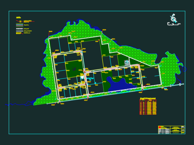
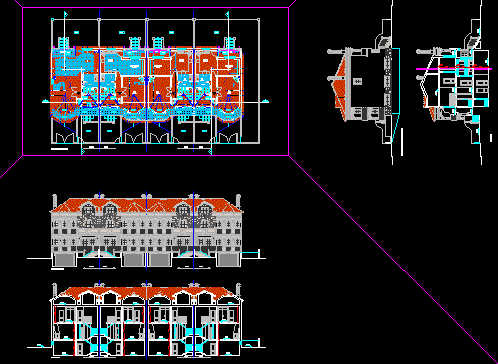
HOUSING PROJECT GENERAL PLAN DWG
FREE
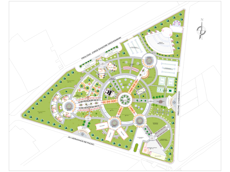
Multipurpose park design with sports areas and amphitheater
FREE
Ekaterinburg City Master Plan with Buildings and Infrastructure
FREE
Duplex house plan
PREMIUM
$3.00
NGCP Power Line and Davao Cadastre Quarry Site Plan
FREE
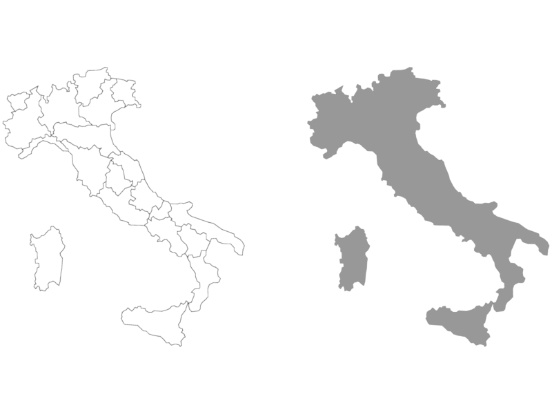
Italy Map with Regional Boundaries
FREE
Industrial park master plan for Long Binh An
PREMIUM
$2.58
Twin Houses DWG Full Project for AutoCAD
FREE
1/500 Scale Urban Subdivision Plan for Ha Cau Ward Hanoi
PREMIUM
$3.87
Grande Recife Allotment Master Plan CAD Drawing Featuring Residential Lots and Infrastructure
PREMIUM
$3.87
Browse All Downloads