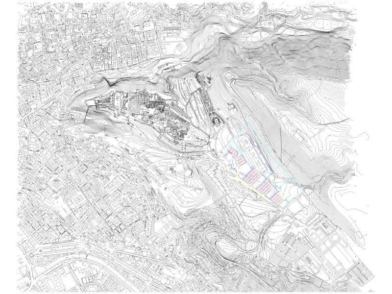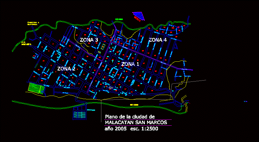
Map and City area Malacatán San Marcos, Guatemala
Drawing labels, details, and other text information extracted from the CAD file (Translated from Spanish):
cabecera municipál malacatan san marcos, nomenclature, park, parish, gas station, hospitals, bus terminal, municipal market, library, churches, gas, mm, pnc, tse, university centers, alcoholics anonymous, supreme electoral tribunal, national civil police, radio broadcasters , municipality, banks, rio ixben, road to san marcos, road to guatemala, the mountain, north, sum, river nica, stadium, trail, public ministry, court of peace, multipurpose room, municipality malacatan treasury municipal treasurer samuel santizo , cemetery, ravine, malacatán, field, to the wall, col. new malacatán, lime, lima plan, river bridge cabús, caserío morals, col. san isidro, roads, san sebastián, malacatán, trail, san marcos, new egypt, user, new egypt, a, montañita, road a, guatemala, plane of the city of, malacatan san marcos, callejòn lorena, new malacatàn